Historical and old photos of Steinkjer, Trøndelag
|
A small historical reference
Geography: Steinkjer is the administrative centre of the municipality of Steinkjer in Trøndelag county, Norway. The town is located at the northeastern end of the inner-most part of the Trondheimsfjorden, at the mouth of the river Steinkjerelva. In the eastern part of the town, the river of Figgja also flows into the fjord. The town is split in two by Steinkjerelva, creating the two traditional neighborhoods of Nordsia and Sørsia. Both the European route E6 highway and the Nordlandsbanen railway line run through the town, the latter serving the city at Steinkjer Station. Steinkjer Church and Egge Church are both located in the town.
Prior to 1 January 2018, the town was the administrative centre of Nord-Trøndelag county, and since that day it has been the seat of the newly created Trøndelag county. This means the Trøndelag County Municipality is based here as is the County Governor, the representative of the King and Government of Norway in Trøndelag county.
The 7.94-square-kilometre (1,960-acre) town has a population (2018) of 12,908 and a population density of 1,626 inhabitants per square kilometre (4,210/sq mi).
Date of foundation: 1857
History:
Population: 12 908
Sights:
|
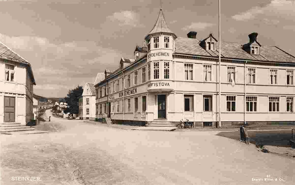
Hotel 'Bondeheimen', between 1900 and 1950 |
Old church, between 1900 and 1940 |
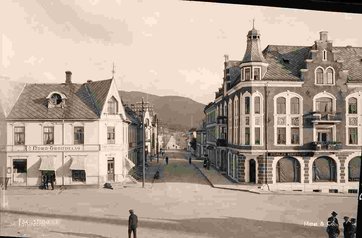
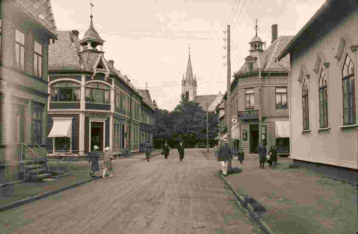
Panorama of city street, 1946 |

Panorama of city street, between 1900 and 1950 |
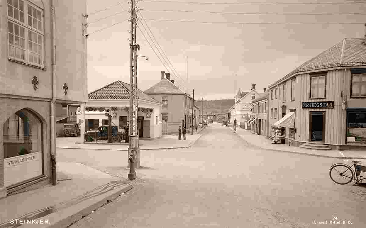
Panorama of city street, petrol station, 1946 |
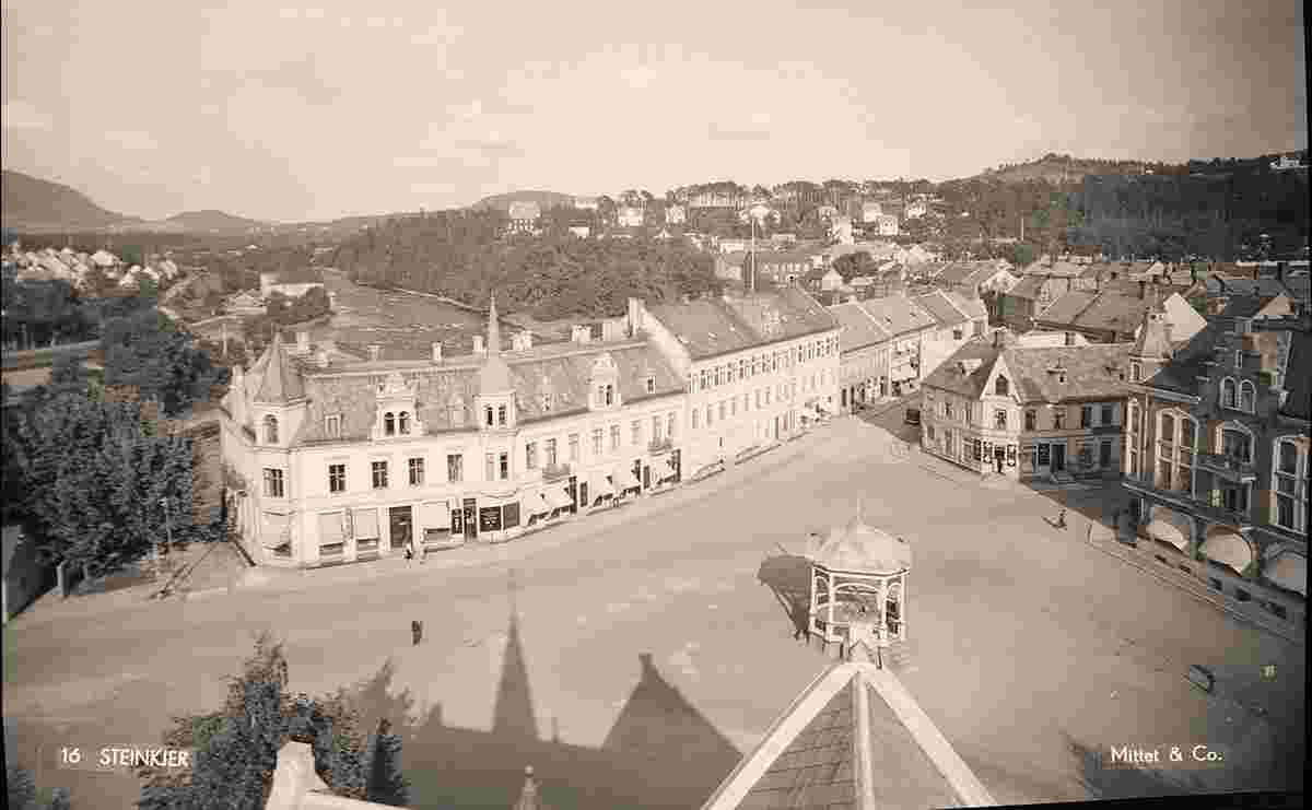
Panorama of square with pavilion, 1946 |
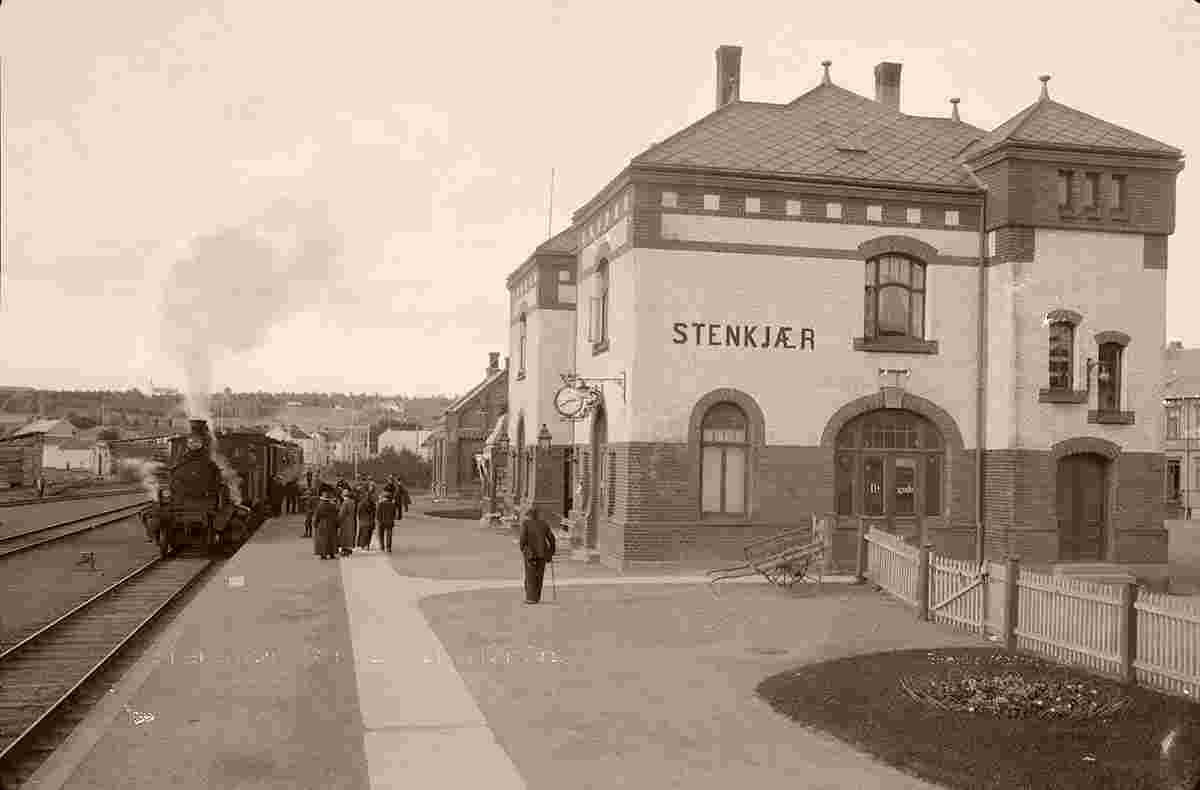
Railway station, platform, train, between 1900 and 1950 |
Swedish City, 1948 |
History
From the creation of municipalities under the formannskapsdistrikt law in 1837, the village of Steinkjer was part of the municipality of Stod. In 1857, the village was designated as a kjøpstad (town). On 23 January 1858, the newly designated town was separated from Stod municipality to form a municipality of its own. The initial population of Steinkjer was 1,150.
During the 1960s, there were many municipal mergers across Norway due to the work of the Schei Committee. On 1 January 1964, a large merger took place: the neighboring municipalities of Beitstad (population: 2,563), Egge (population: 3,476), Kvam (population: 1,245), Ogndal (population: 2,678), Sparbu (population: 4,027), and Stod (population: 1,268) were all merged with the town of Steinkjer (population: 4,325) to form the new municipality of Steinkjer.
Origin: en.wikipedia.org
|
