Historical and old photos of Haugesund, Rogaland
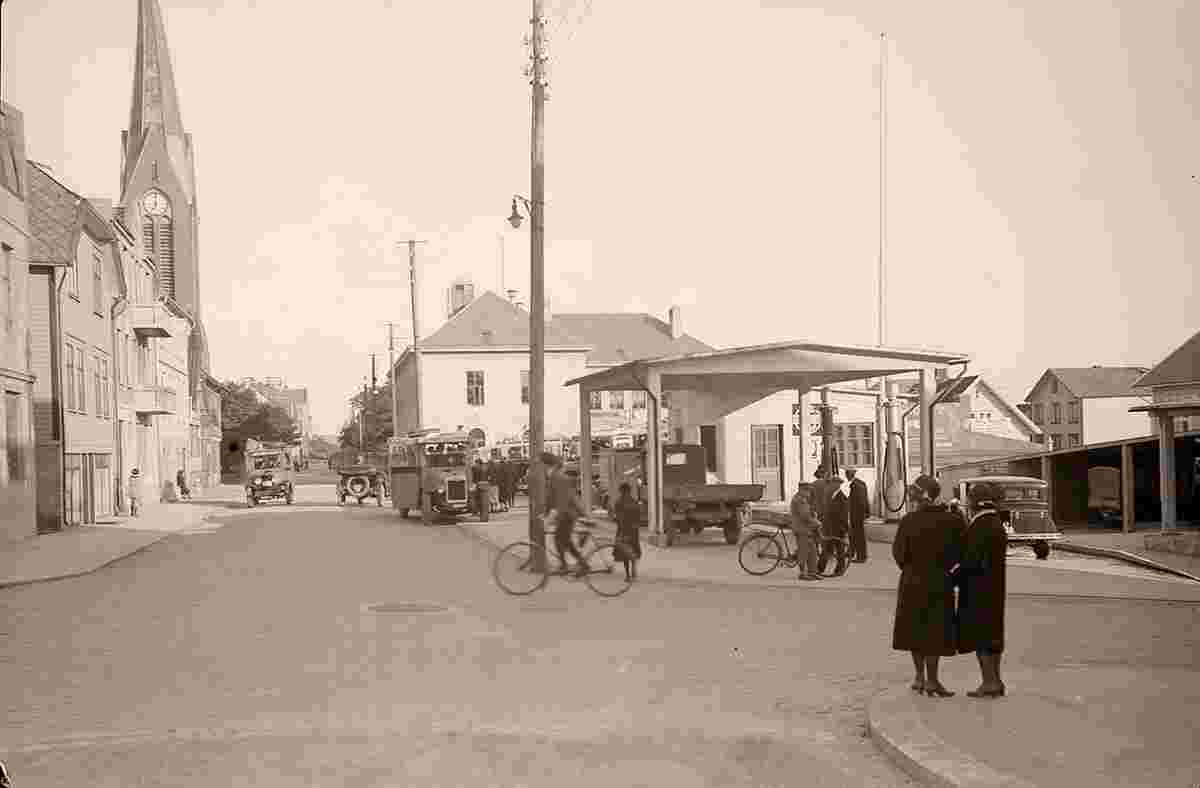
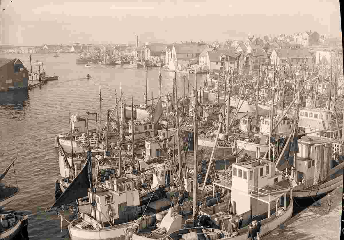
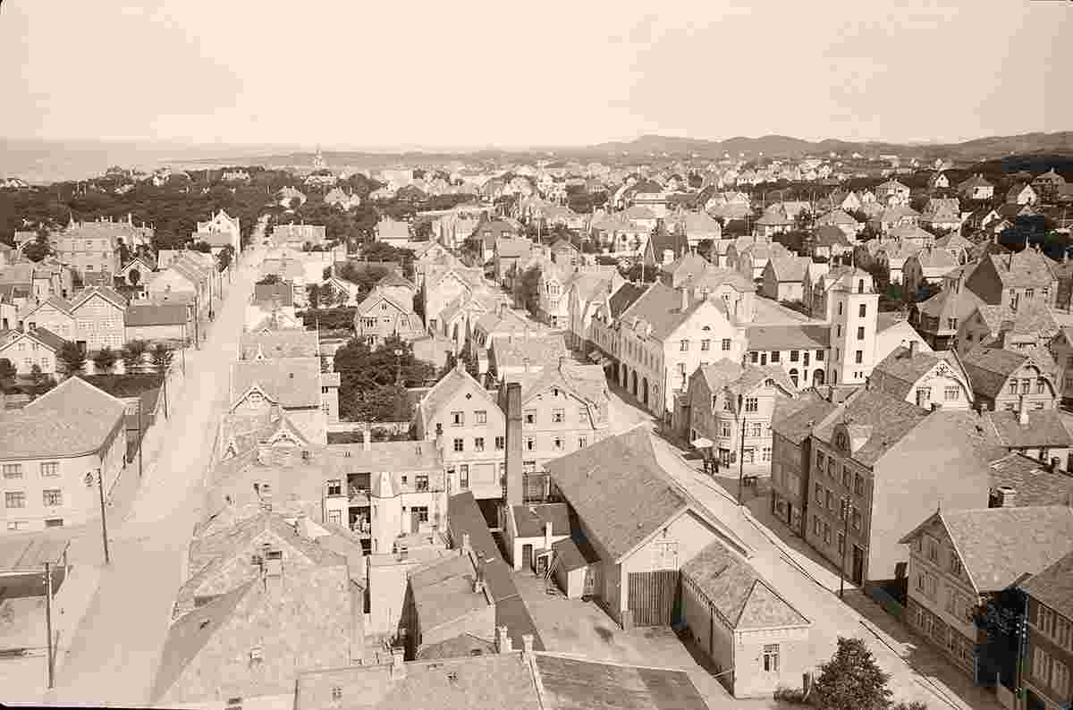
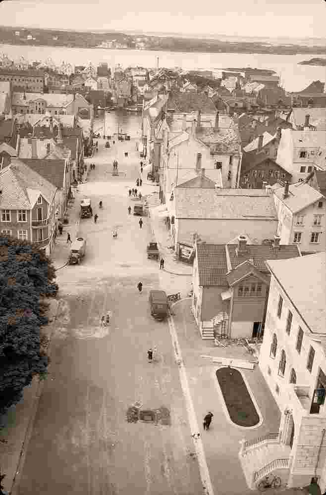
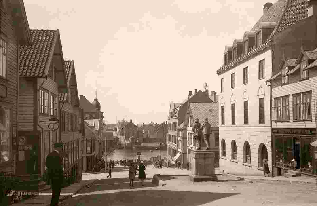
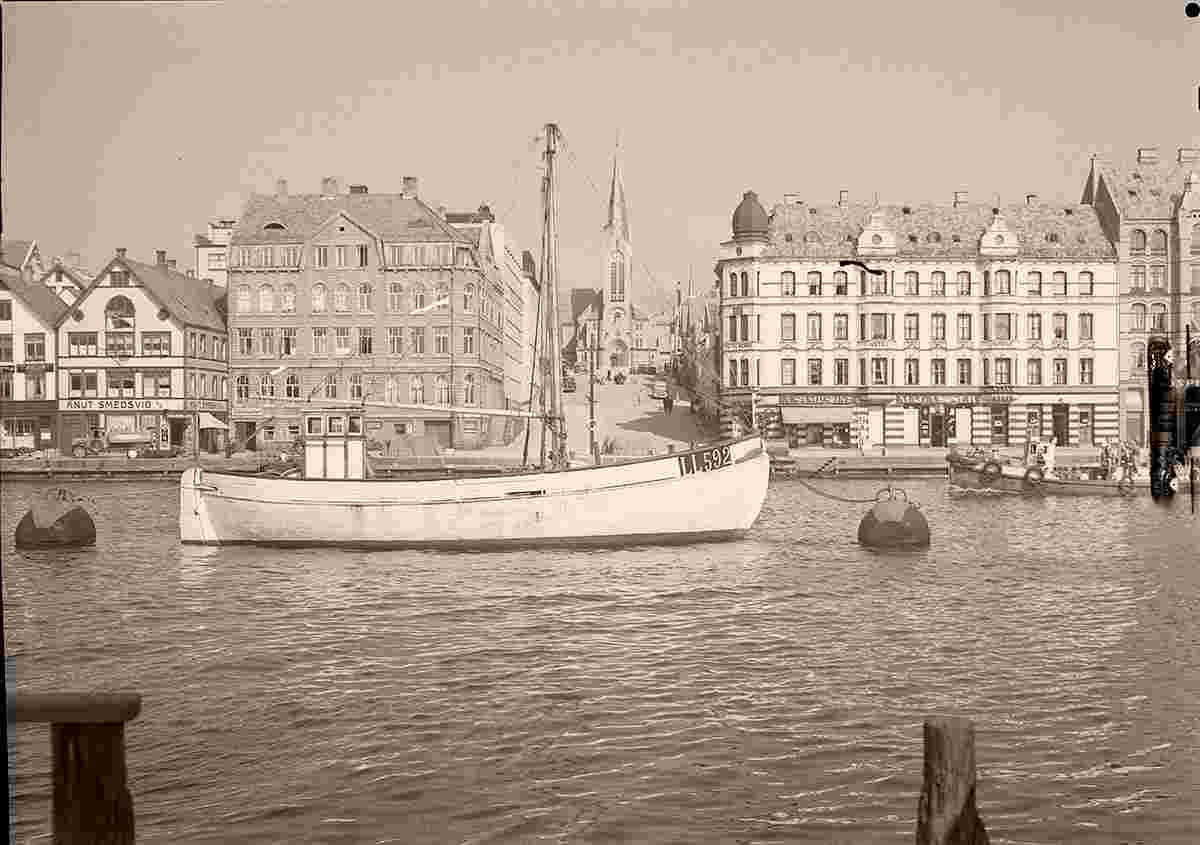
HistoryDespite being a fairly young town, the areas around Haugesund were lands of power during the Viking Age. Harald Fairhair, the first king of Norway, had his home at Avaldsnes, very close to the present town. Fairhair was buried at Haraldshaugen, a burial mound adjacent to the Karmsundet strait. This site is the namesake of the town and municipality of Haugesund. The national monument at Haraldshaugen was raised in 1872, to commemorate the 1000th anniversary of the Battle of Hafrsfjord in 872. The Battle of Hafrsfjord has traditionally been regarded as when western Norway was unified under a single monarch for the first time. The urban village area of Haugesund (population: 1,066) was declared to be a "town" and it was separated from the municipality of Torvastad on 1 February 1855 to become a separate municipality of its own. On 1 January 1911, a small urban area of Skåre (population: 3,847) that directly abutted the town of Haugesund was transferred to Haugesund. On 1 January 1958, the remainder of the municipality of Skåre was merged with the town of Haugesund, creating a larger Haugesund municipality. On 1 January 1965, the island of Vibrandsøy (population: 70) was transferred from Torvastad municipality to Haugesund. Haugesund has a strong historical bond to the sea and especially the herring. In the earlier years, the coastal waters of Haugesund were a huge source for fishing herring, and the town grew accordingly. The protective straits of Smedasund and Karmsund gave the town potential to grow in both fishing and shipping. Even to this day, Karmsund is one of Norway's busiest waterways. The town is still growing geographically even though the population has increased only moderately the last decade. Today the herring is long gone, and the town is turning more and more towards the petroleum industry, like its neighbouring town to the south, Stavanger. Origin: en.wikipedia.org | ||||||||||||
 |
Historical and old photos of Haugesund, Rogaland
Historiske og gamle bilder av Haugesund, Rogaland |
| Main page • Countries of Europa • Cities of Norway |
| Robinson Rd, CB 13862 Nassau, NP, The Bahamas |