Author
Historical and old photos, pictures and images of Burnham, Canterbury

Main page • Countries of Oceania • Cities of New Zealand

History of Burnham, Canterbury in photos

A small historical reference

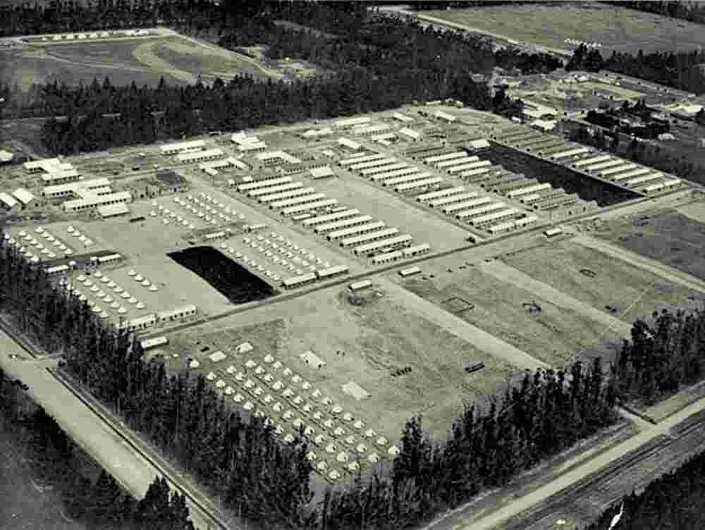
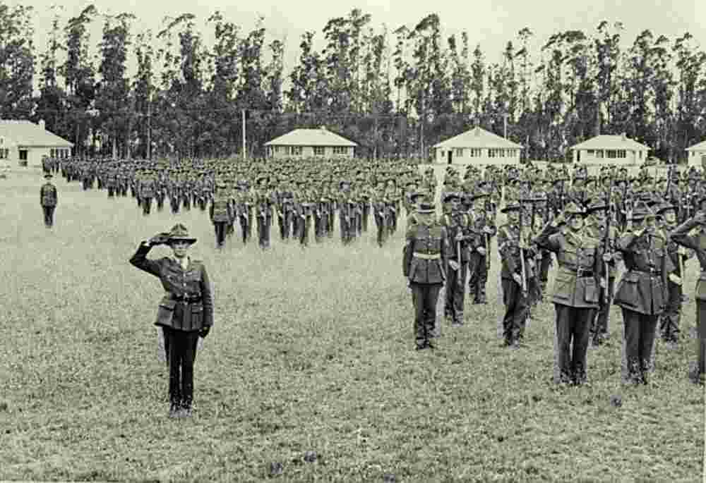
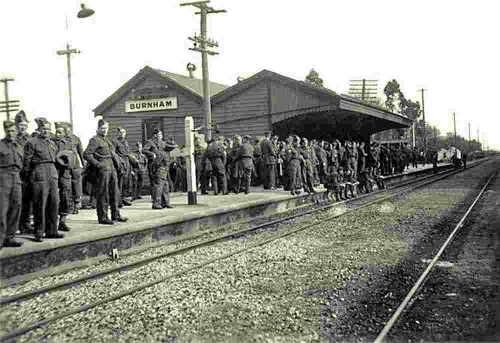
Geography: Burnham, also known as Burnham Camp, is the largest army base in New Zealand's South Island. It is located 28 kilometres south of Christchurch on the Canterbury Plains in the Selwyn District, close to the town of Dunsandel. Burnham was named after Burnham Beeches, Buckinghamshire, Great Britain.

The senior headquarters at the camp has seen many changes. Previously Headquarters 3 Task Force, 3 Task Force Region, HQ Ready Reaction Force, and 3 Land Force Group have been based here. Most recently 3 Land Force Group was disbanded in 2011, and Headquarters Deployable Joint Task Force Headquarters - Land (DJTFHQ-L) was formed.

Date of foundation:

History:

Population: 1 206

Sights:

Burnham. Aerial view of Burnham Military Camp, 1945
Aerial view of Burnham Military Camp, 1939-1945
Burnham. Salute by the 2nd Echelon, 1940
Salute by the 2nd Echelon on the occasion of the visit by Lord and Lady Willingdon, February 1940
Burnham. Shell tanker ship 'Plagiola', 1959
Shell tanker ship 'Plagiola', carrying bitumen cargo, docked at Burnham Wharf, 1959
Burnham. Soldiers of the 3rd echelon, 1940
Soldiers of the 3rd echelon waiting for the leave train at Burnham Railway Station, May 1940
The Dutch tug Nordzee at Burnham wharf in Shelly Bay, 17 Aug 1950


Robinson Rd, CB 13862 Nassau, NP, The Bahamas
Flag Counter