A small historical reference
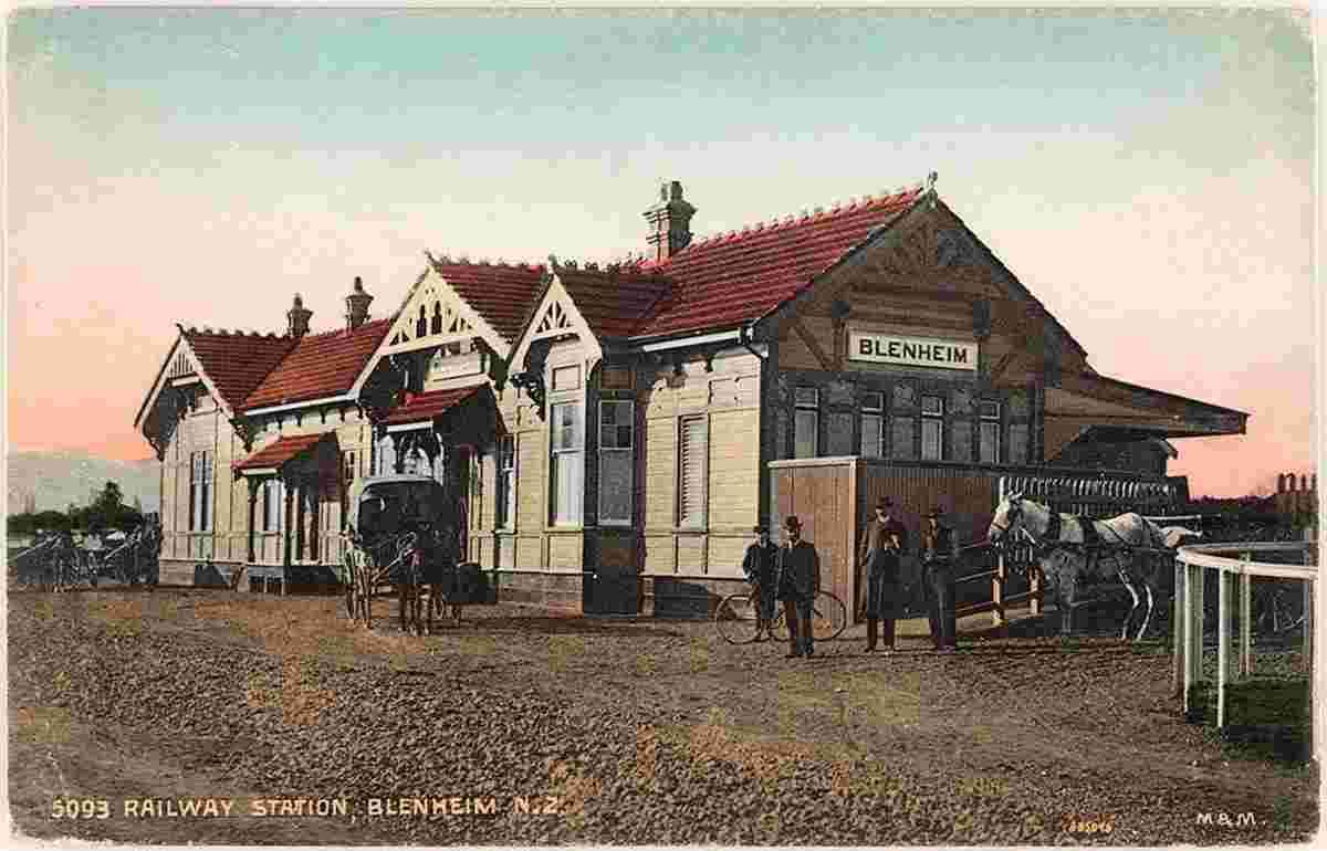
Geography: Blenheim is the most populous town in the region of Marlborough, in the north east of the South Island of New Zealand. It has an urban population of 31,600 (June 2018). The surrounding Marlborough wine region is well known as the centre of the New Zealand wine industry. It enjoys one of New Zealand's sunniest climates, with warm, relatively dry summers and cool, crisp winters.
Blenheim is named after the Battle of Blenheim (1704), where troops led by John Churchill, 1st Duke of Marlborough defeated a combined French and Bavarian force.
The New Zealand Ministry for Culture and Heritage gives a translation of "flax stream" for Waiharakeke (Māori).
Date of foundation:
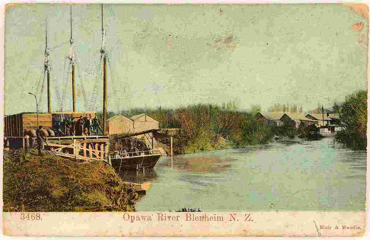
History: The sheltered coastal bays of Marlborough supported a small Māori population possibly as early as the 12th century. Archaeological evidence dates Polynesian human remains uncovered at Wairau Bar to the 13th century. The rich sea and bird life of the area would easily have supported such small communities. As the Māori population of the area increased, they developed the land to sustain the growing population. In the early 1700s canals and waterways were dug among the natural river courses, allowing for the first forms of farming in the area including that of fish and native water fowl. A total of approximately 18 km of channels are known to have been excavated before the arrival of European settlers. Māori in the Marlborough Region also cultivated crops, including kumara (sweet potato).
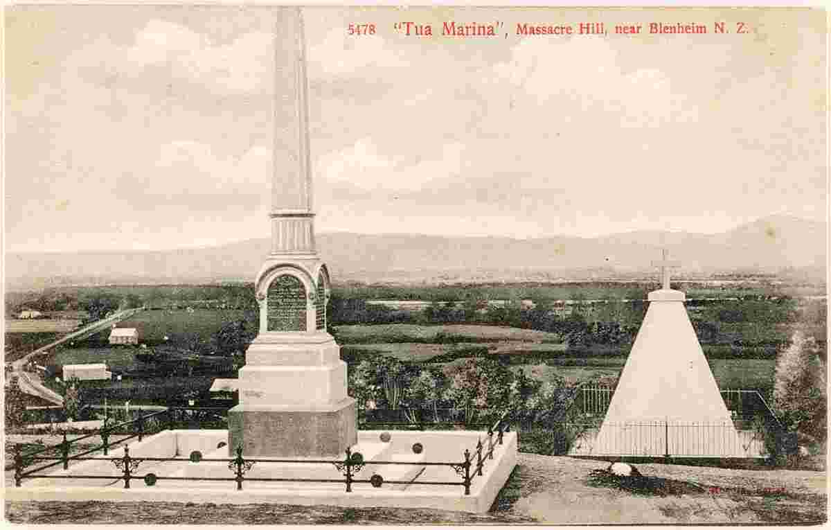
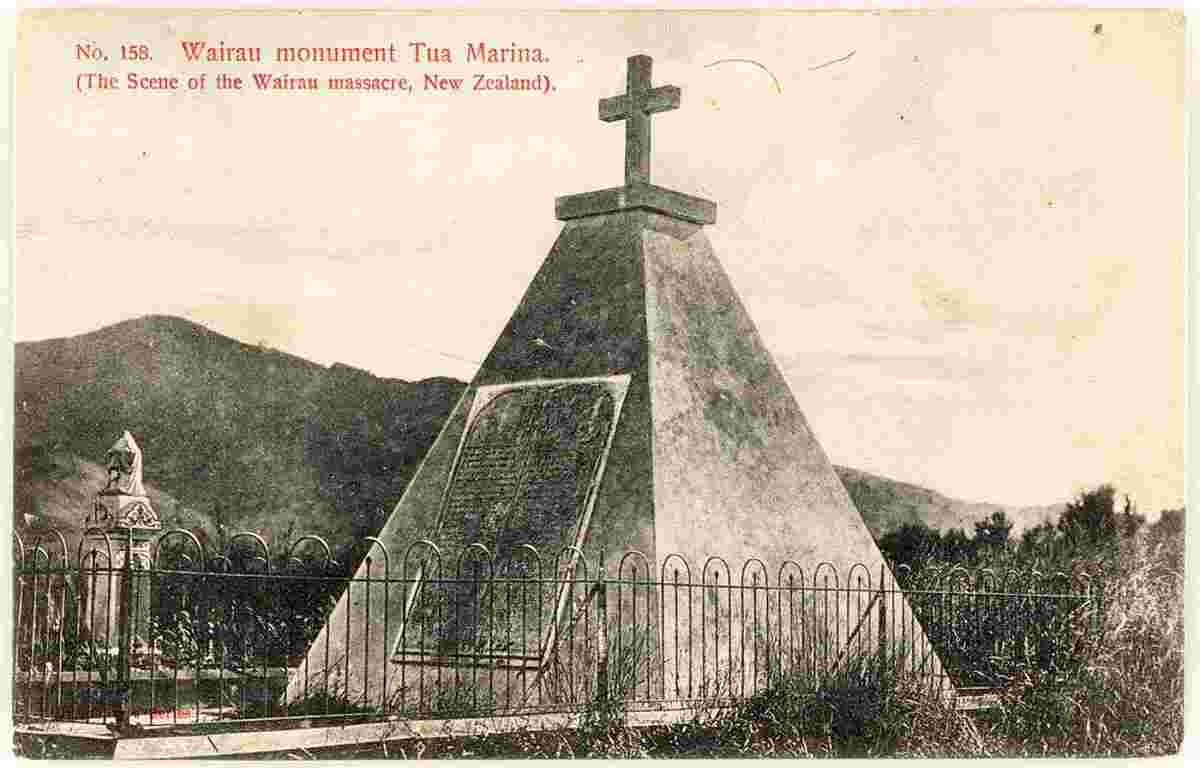
The area is also home to the first serious clash of arms between Māori and the British settlers after the signing of the Treaty of Waitangi. The Wairau Affray which occurred in what is now the village of Tuamarina.
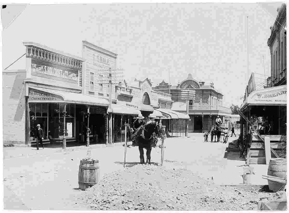
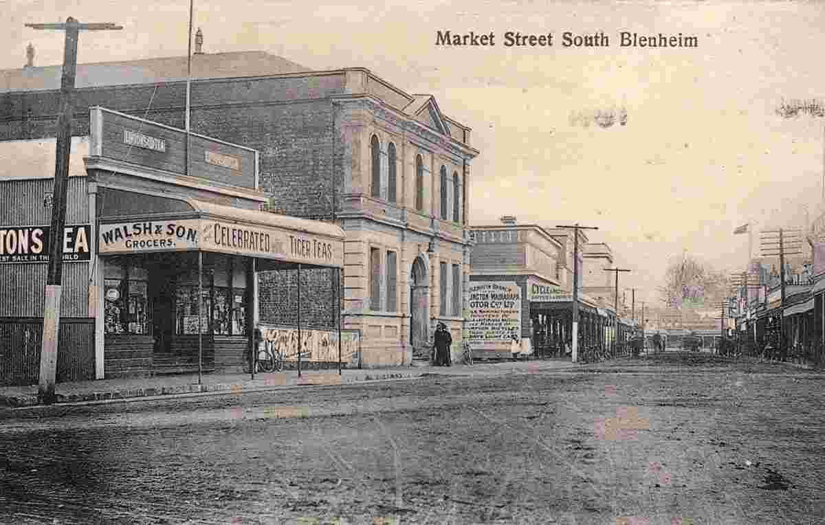
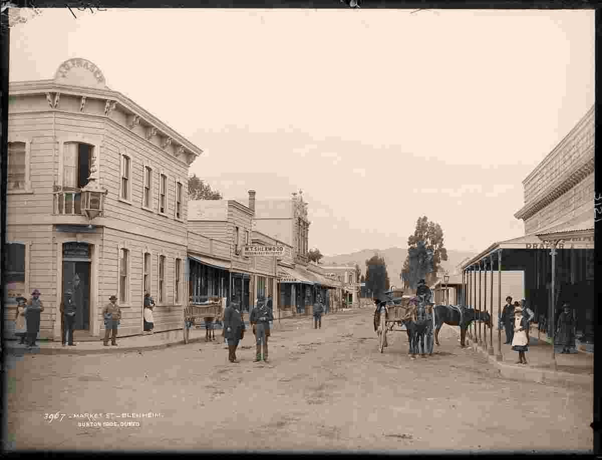
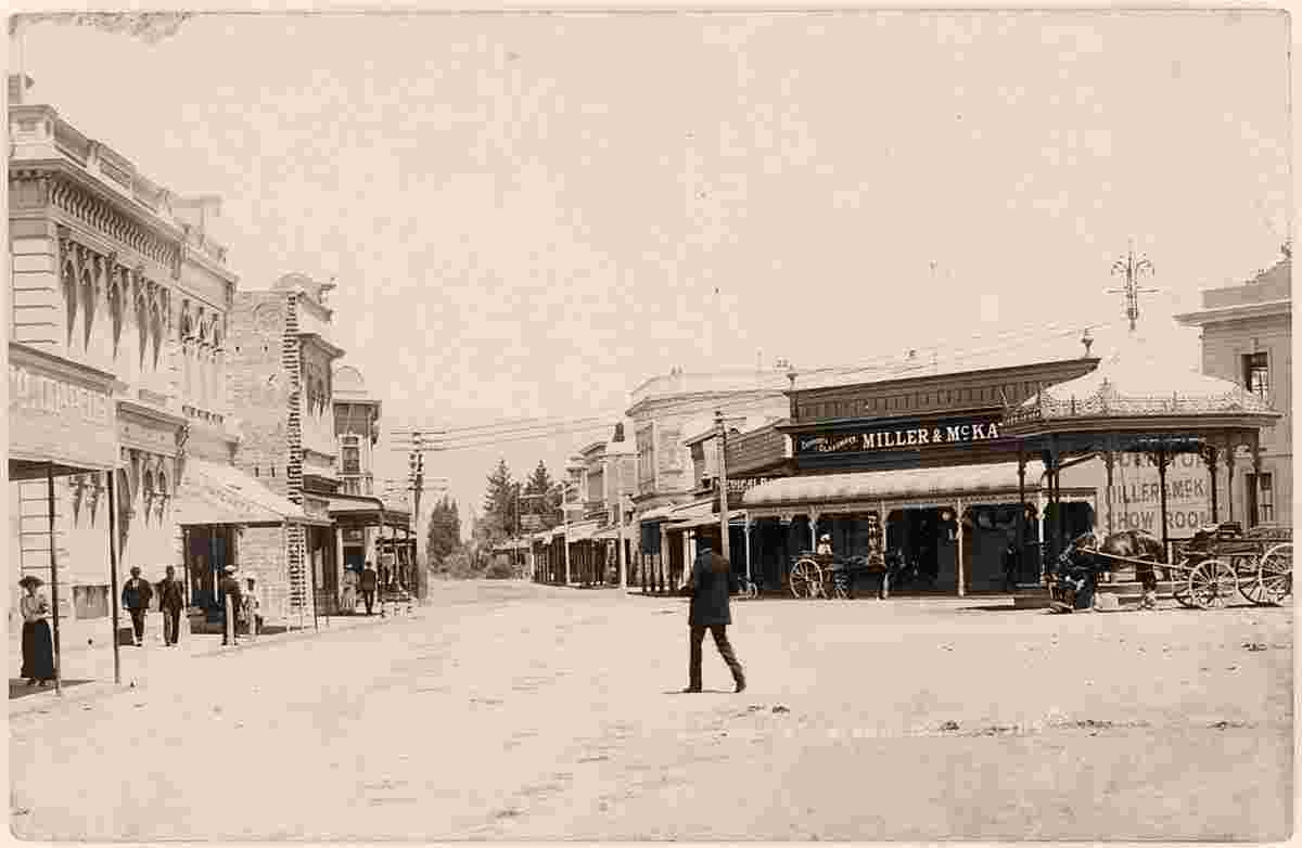
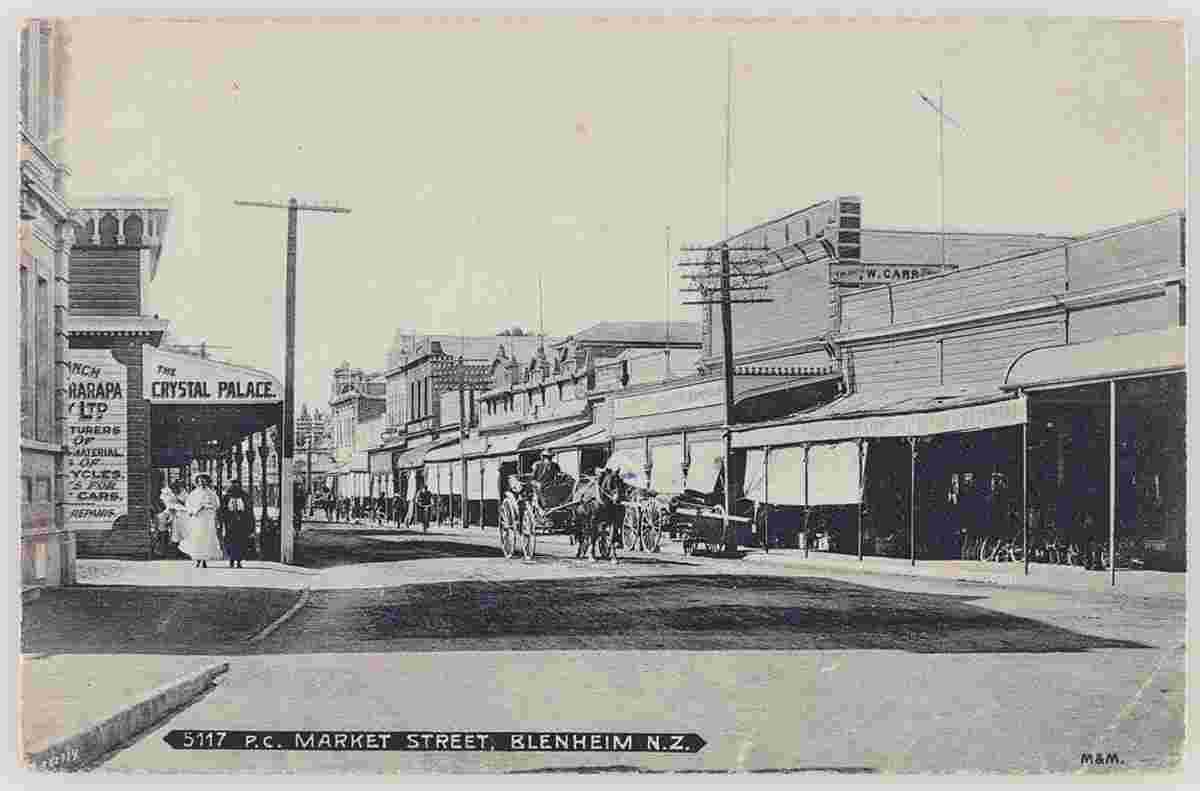
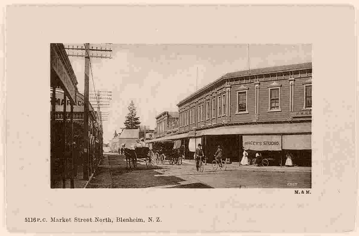
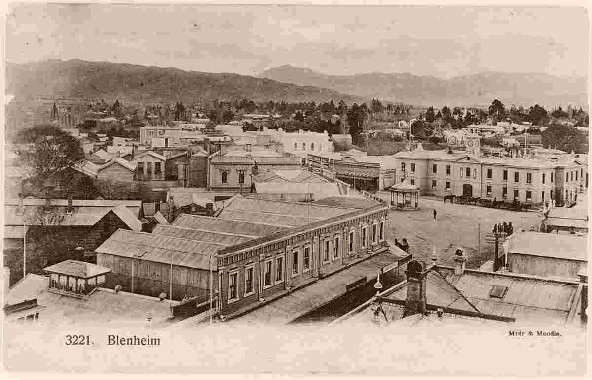
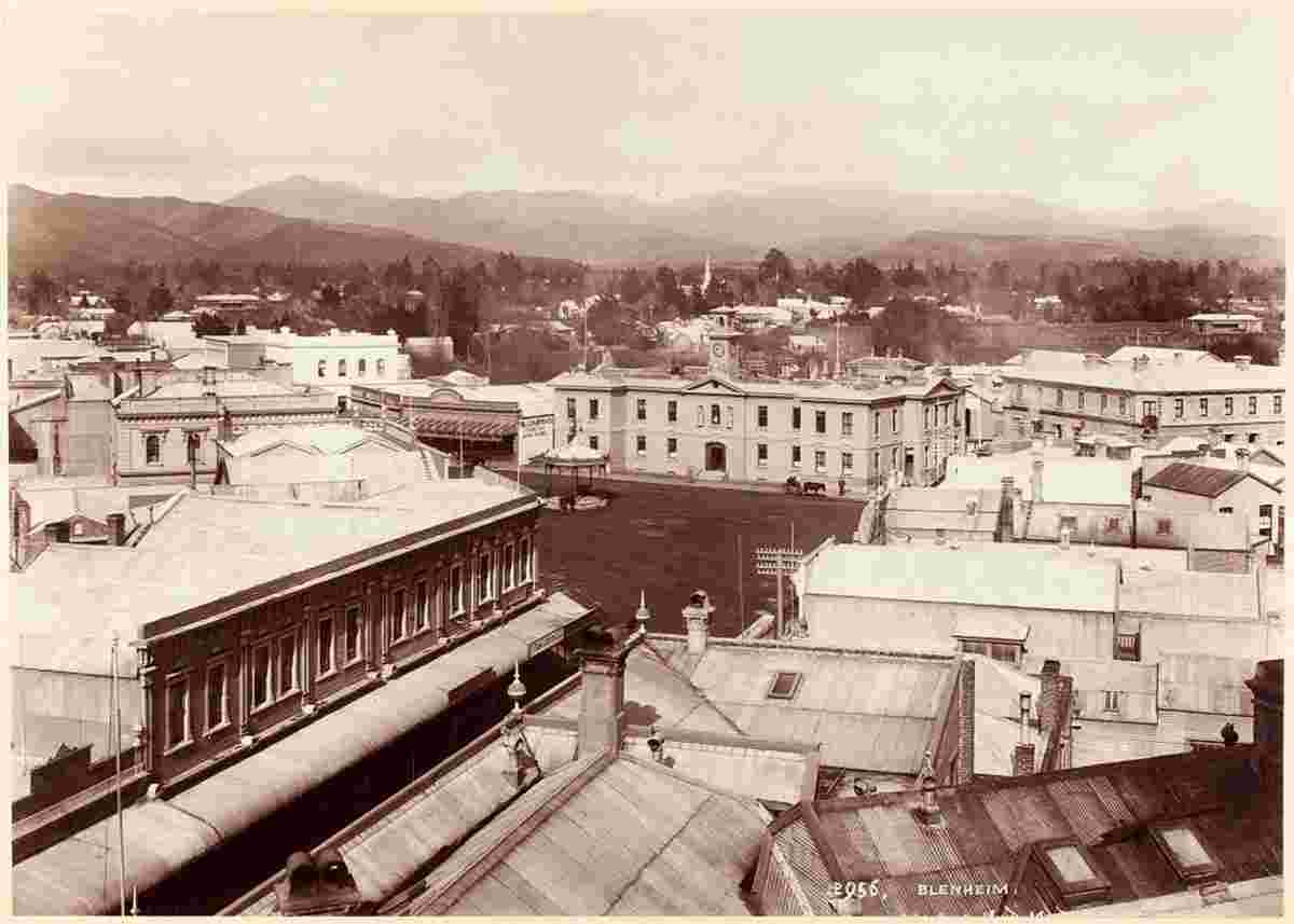
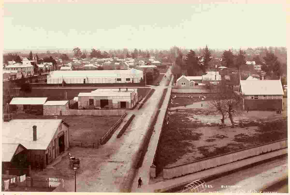
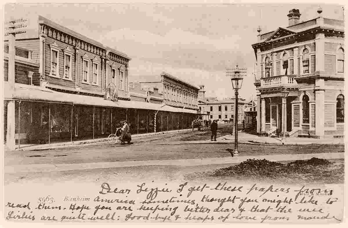
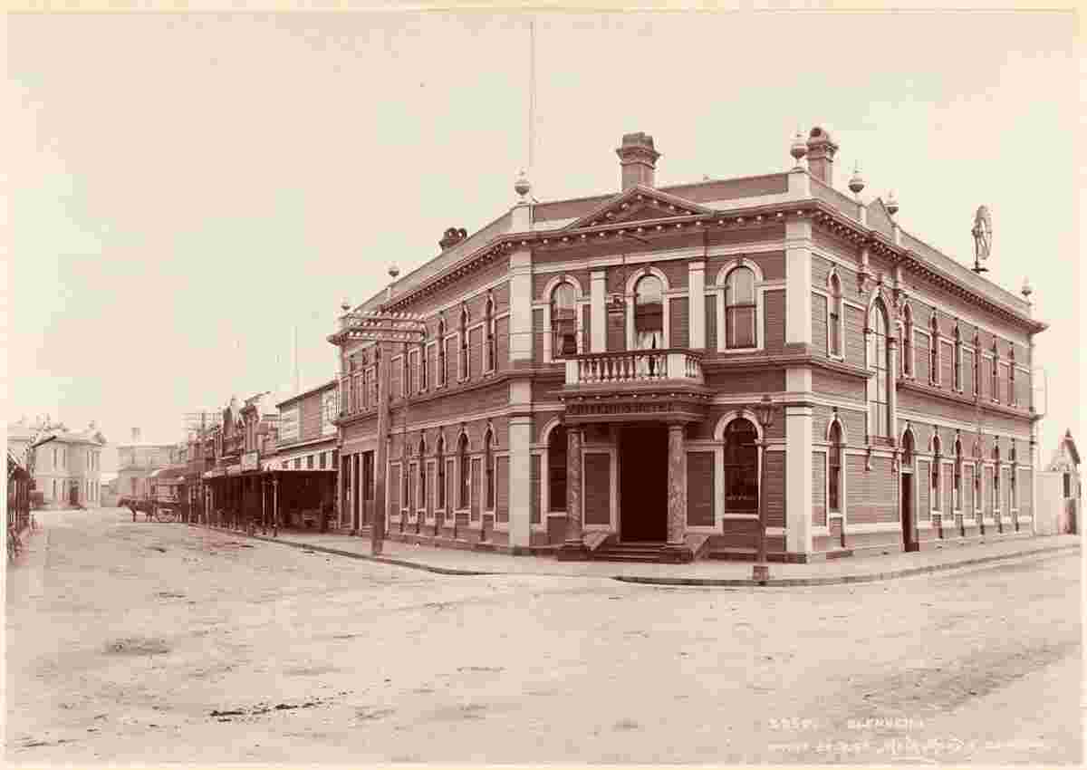
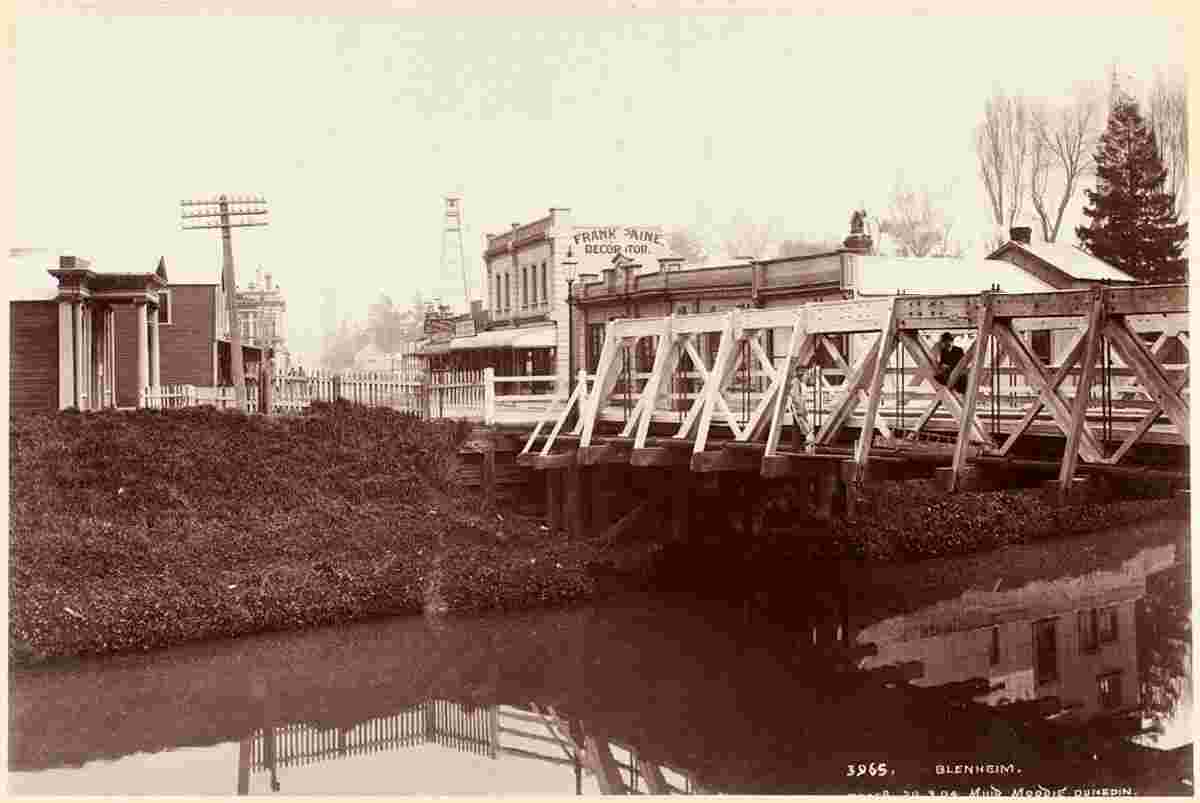
The settlement was originally known to Europeans as The Beaver or Beaverton due to its frequent flooding.
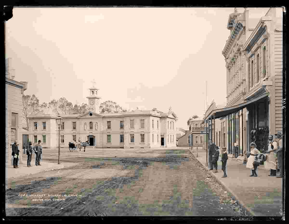
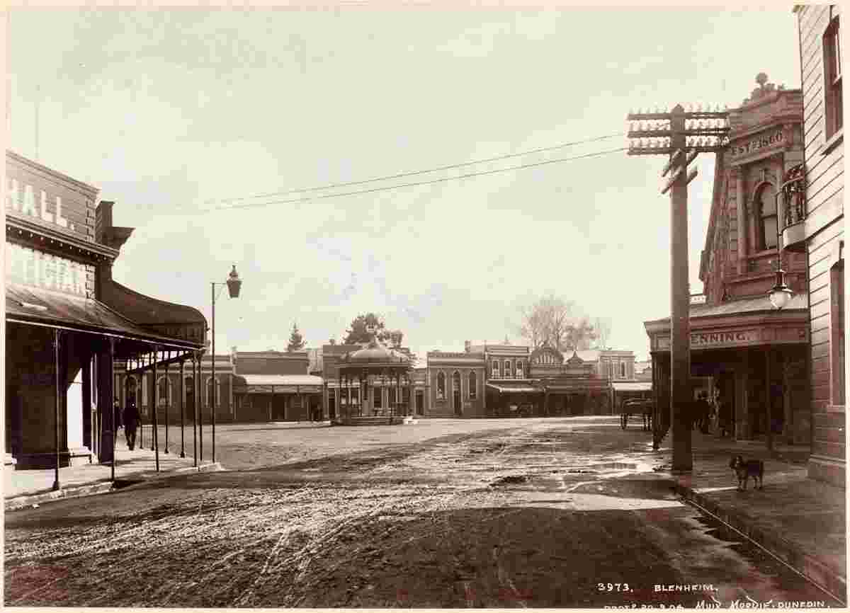
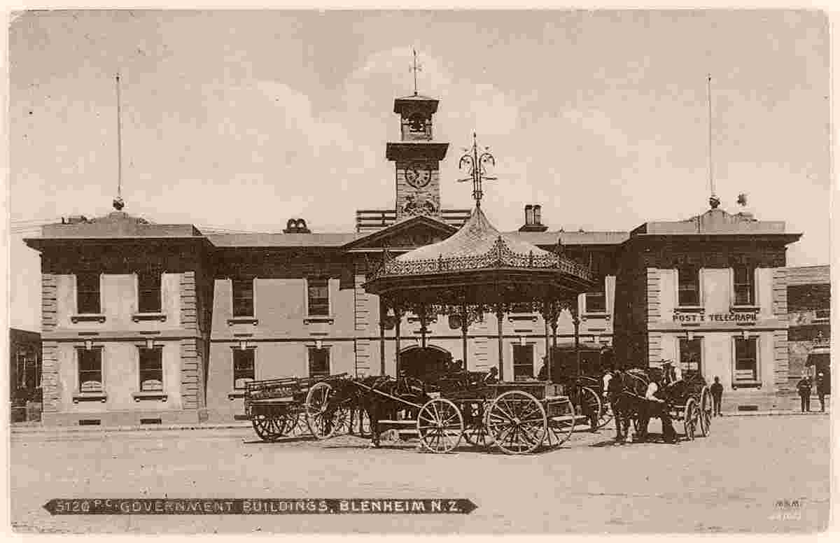
Although the early history of Marlborough was closely associated with the Nelson settlement, the people of Marlborough desired independence from Nelson. In 1859, nineteen years after the original Nelson settlement, the request of Marlborough settlers was granted, and Marlborough became a separate province. Although gold was discovered in the province in the early 1860s the resulting boom did not last, and while the gold rush helped to expand the region, it was the development of pastoralism which provided the greatest long-term benefits. Marlborough squatters developed huge sheep runs that dominated the countryside, rivalling Canterbury's sheep stations in size and wealth.
Population: 31 600
|