
History of Ashburton, Canterbury in photos
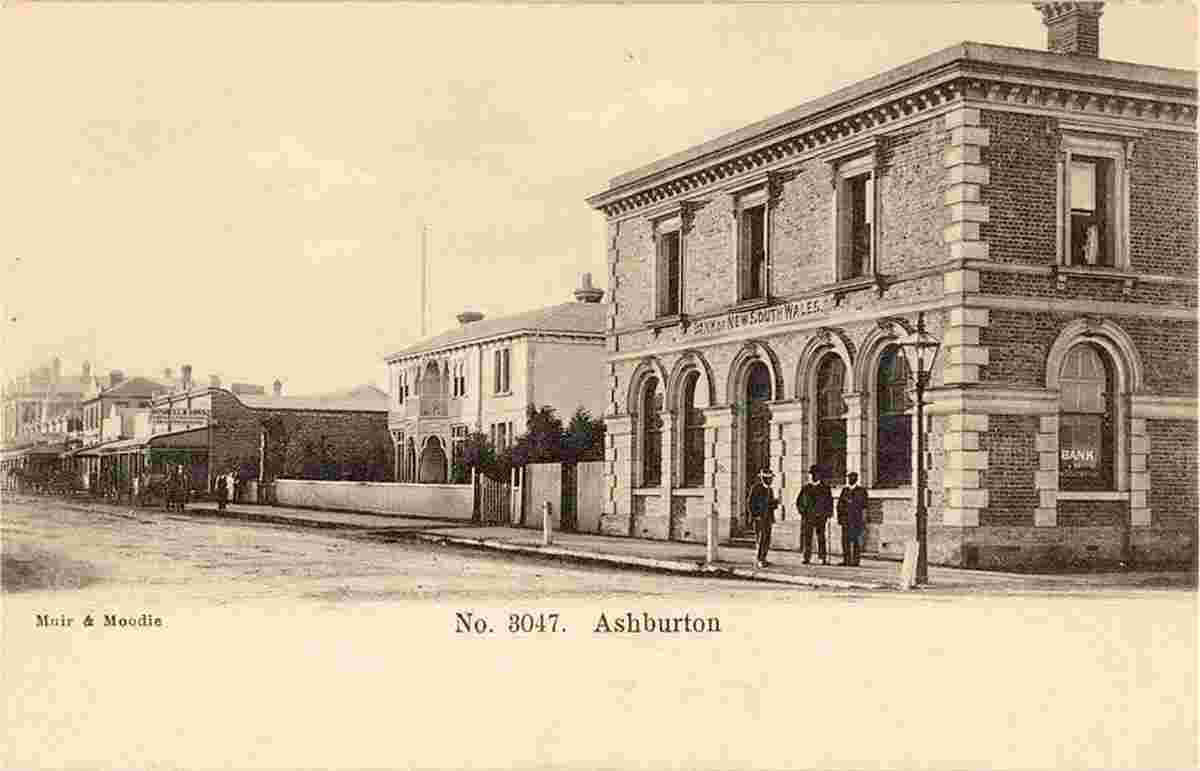
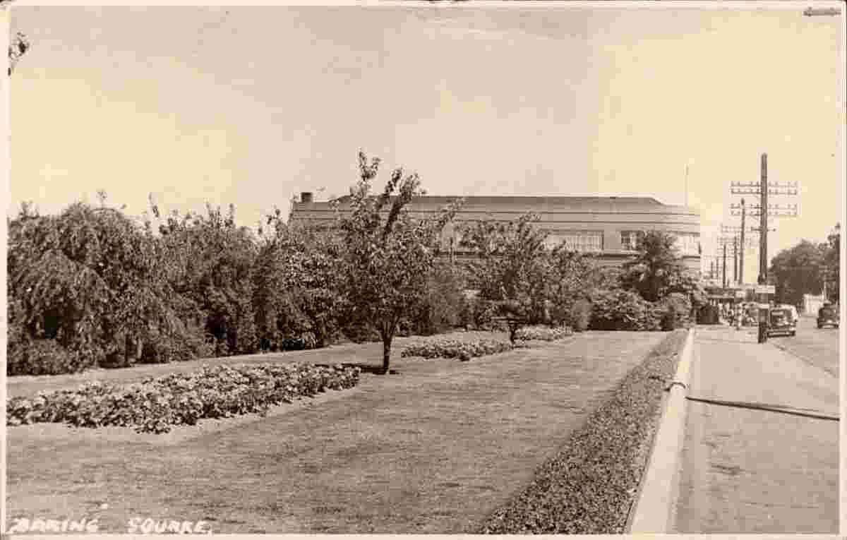
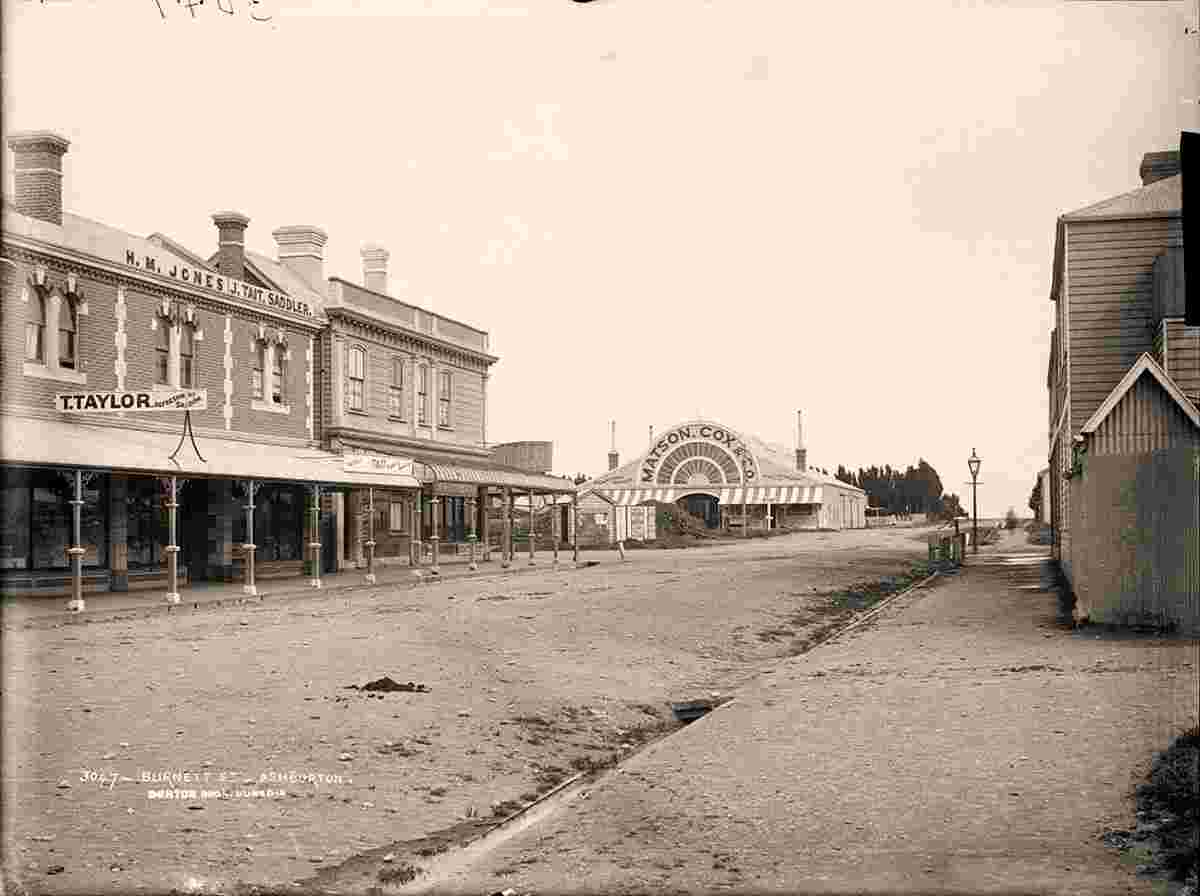
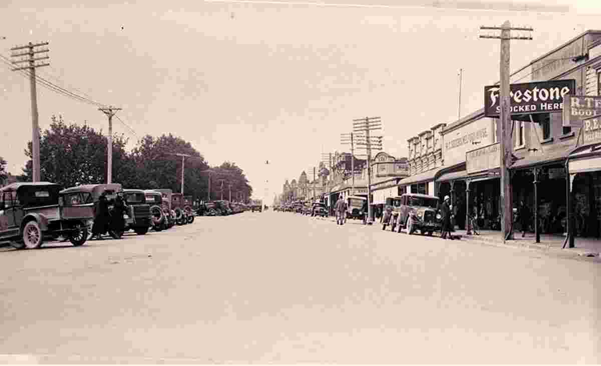
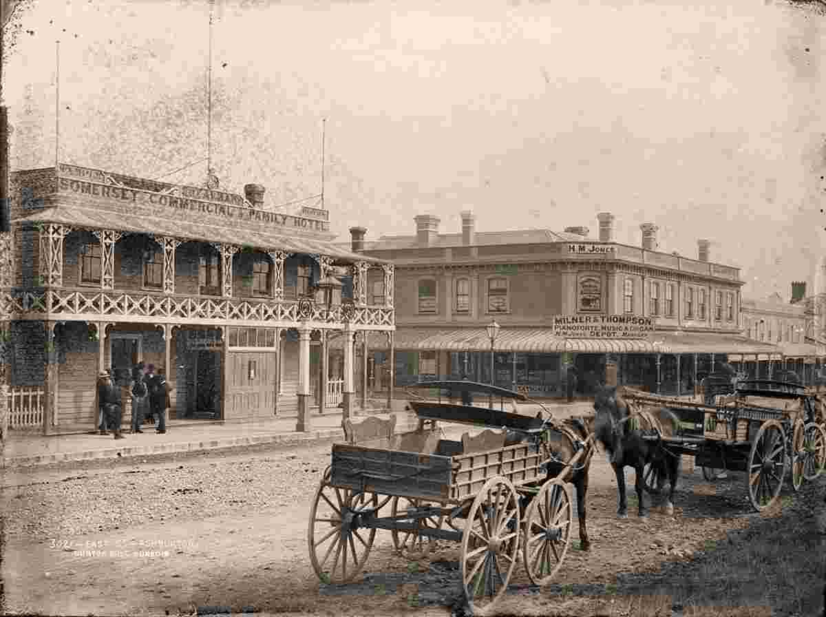
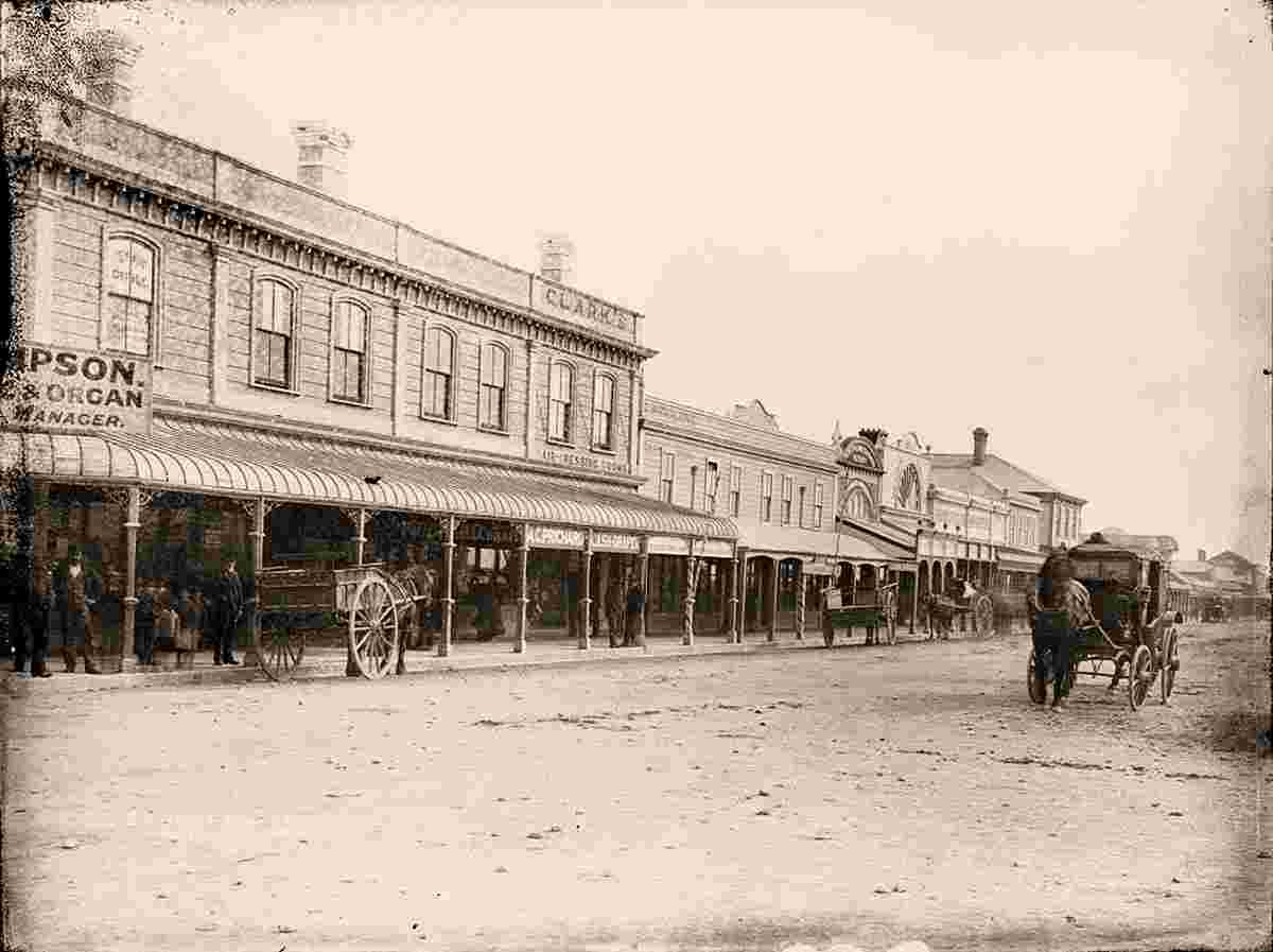
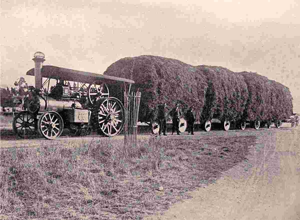
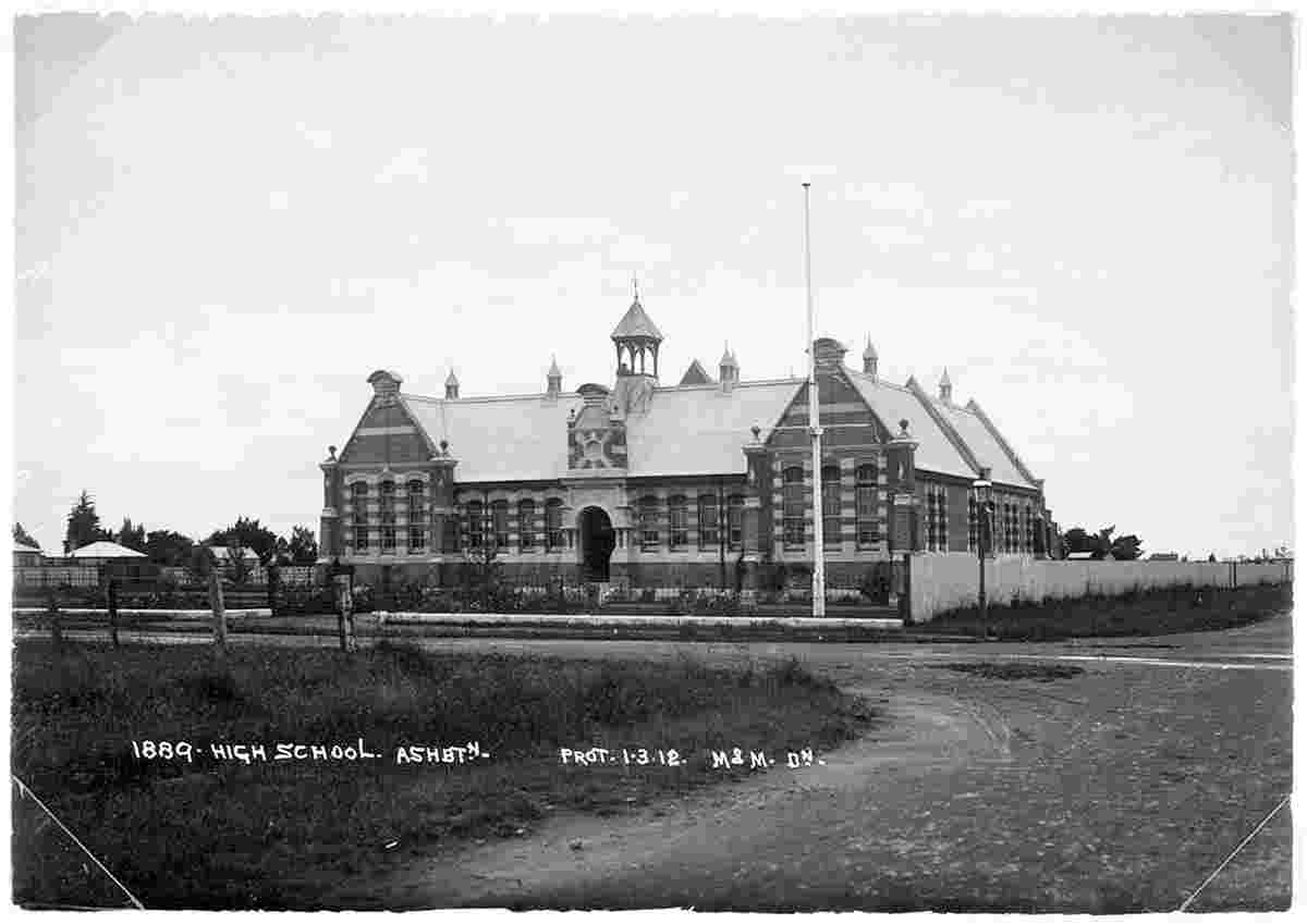
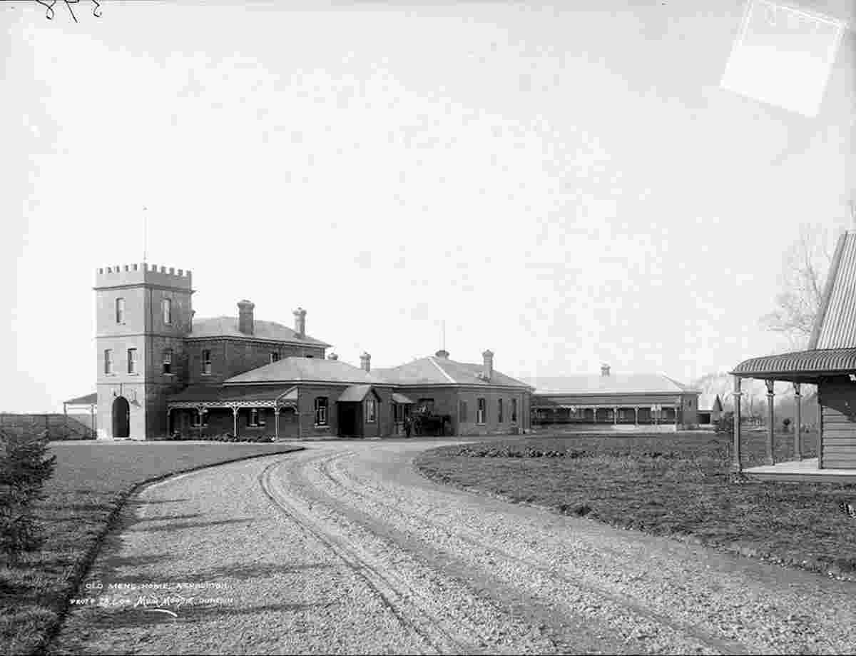
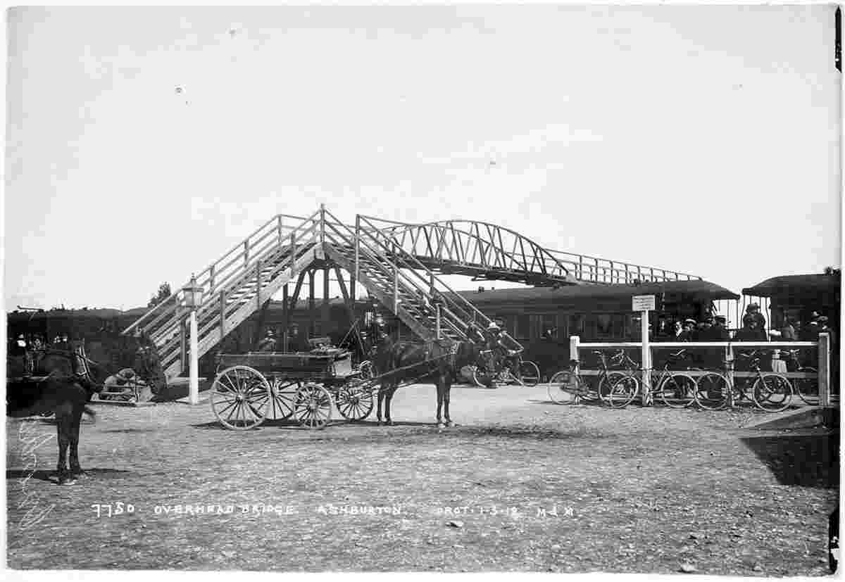
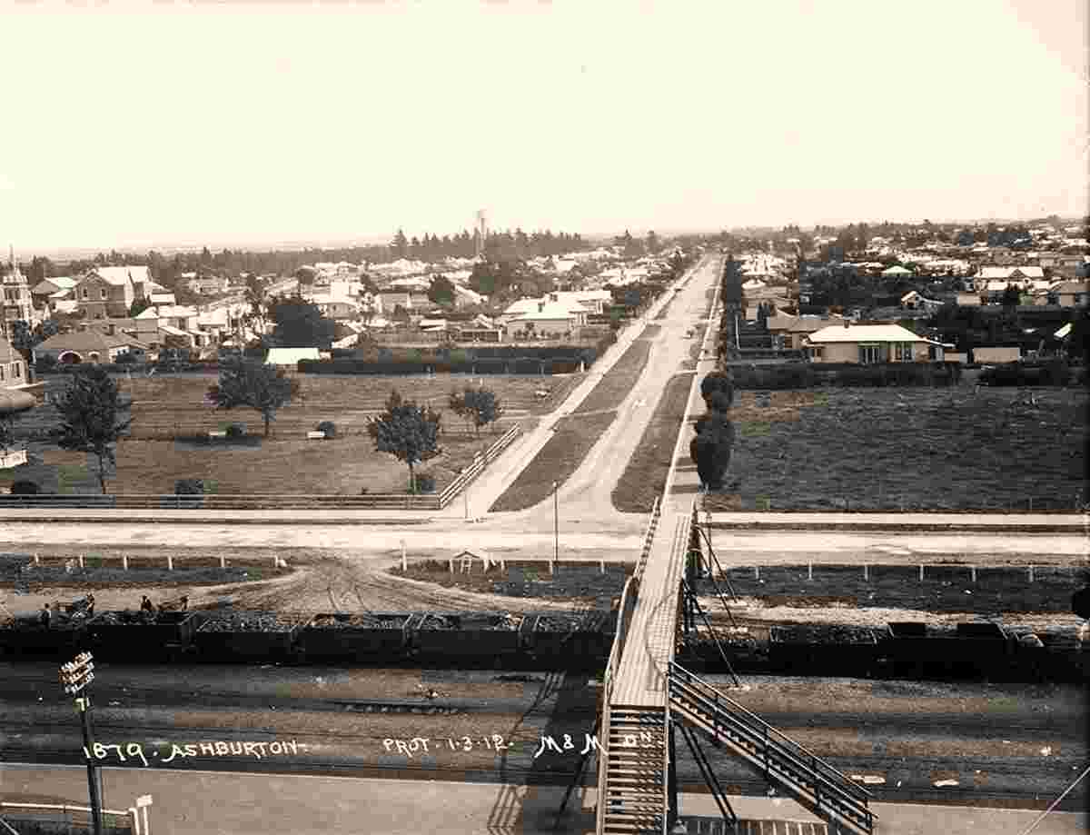
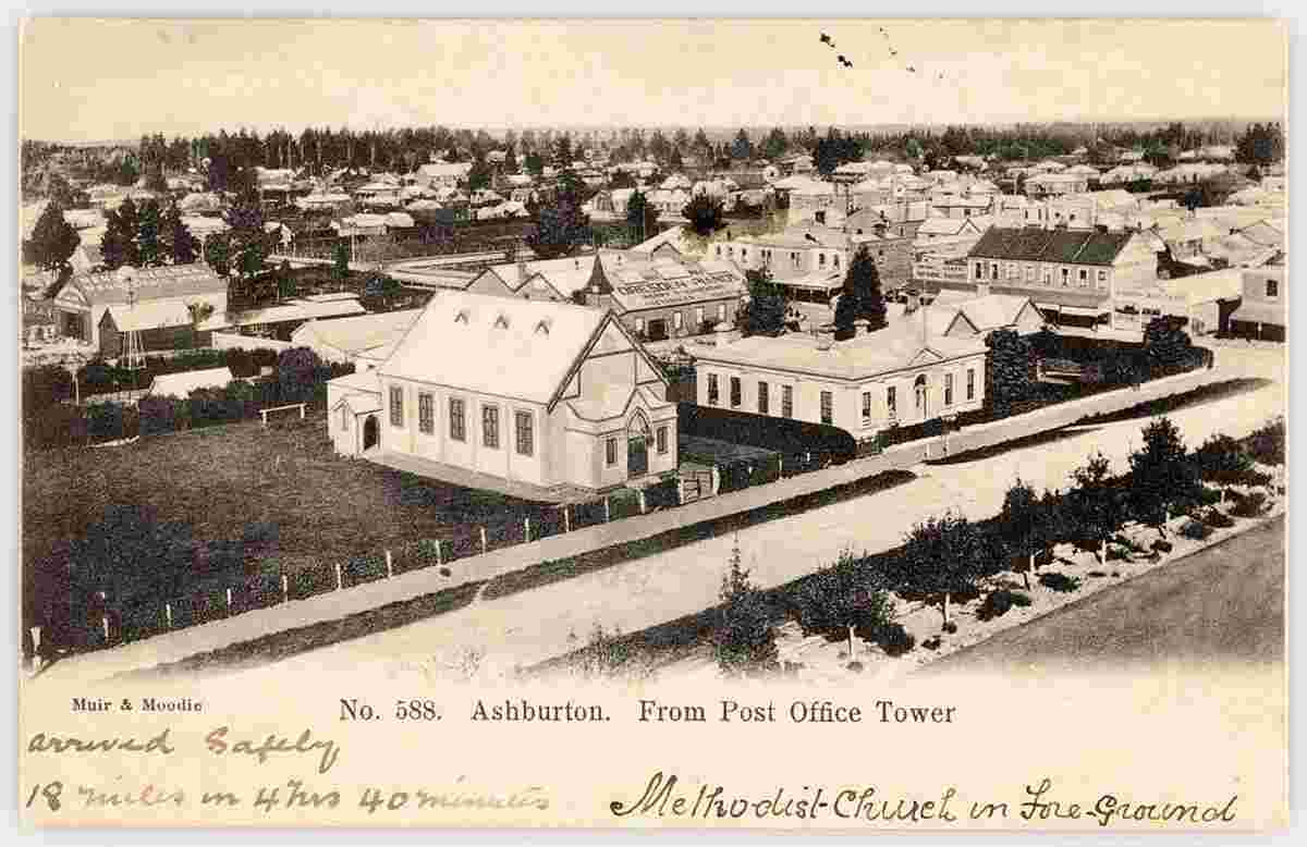
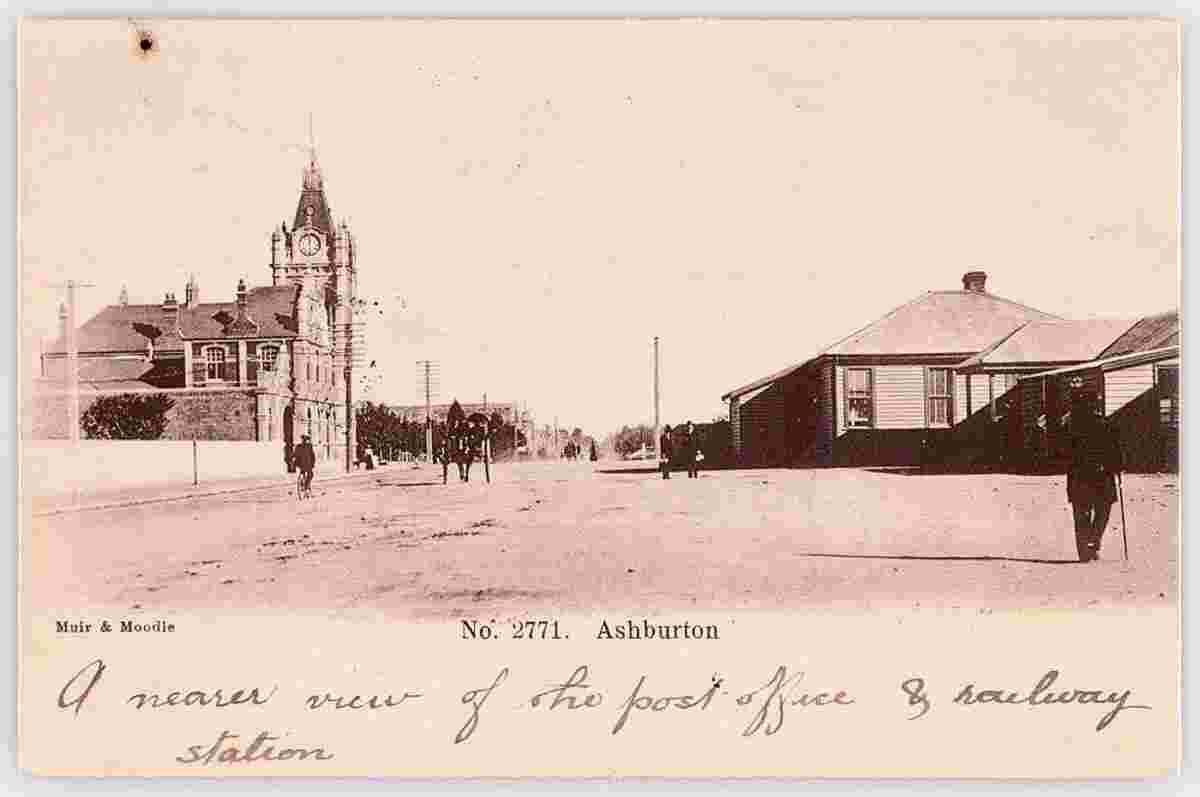
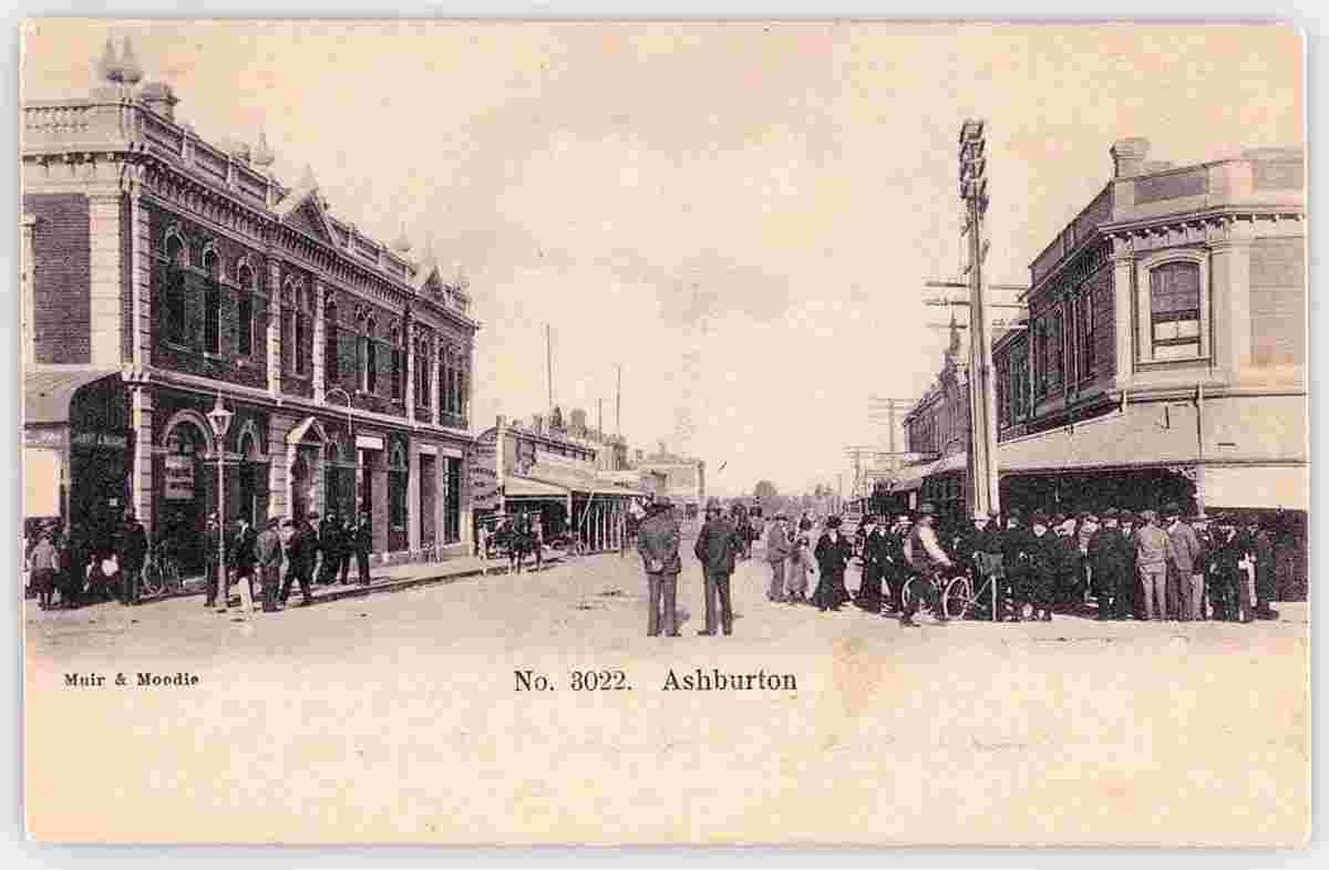
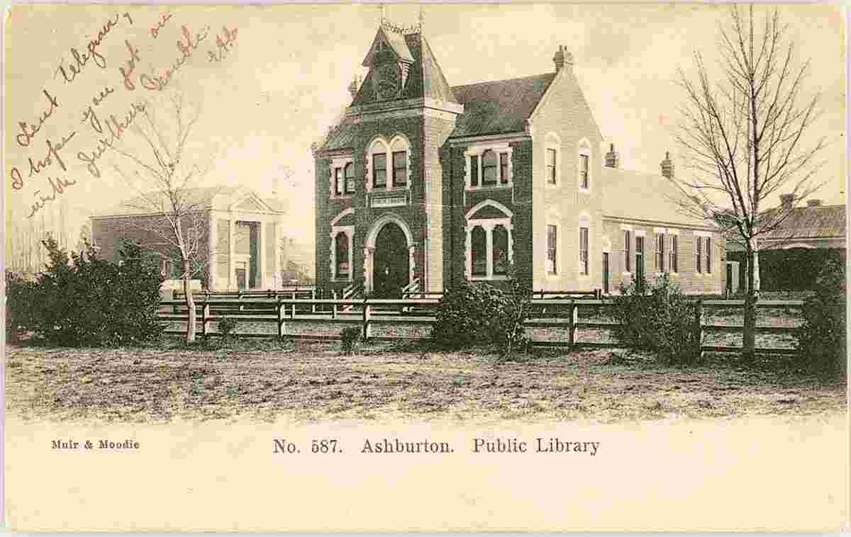
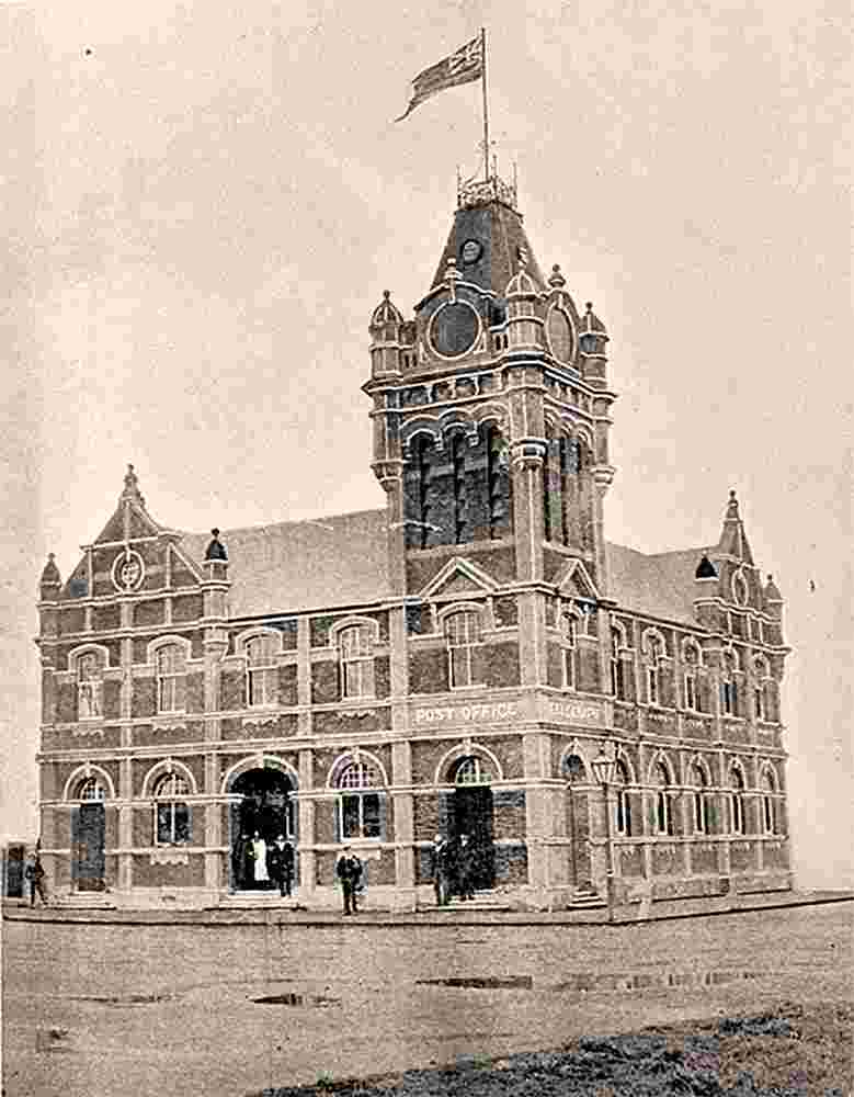
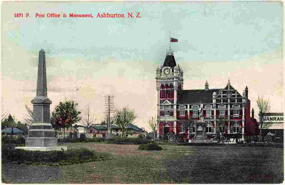
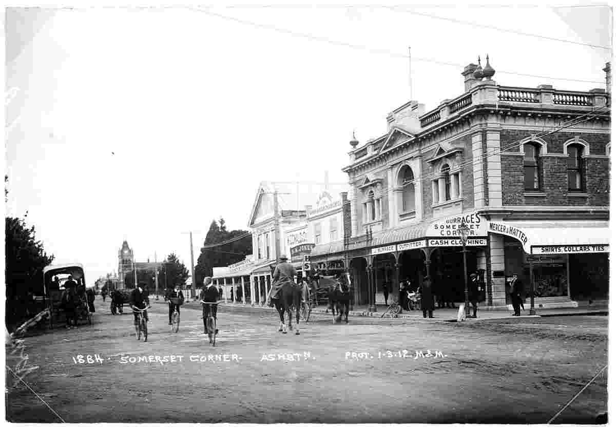
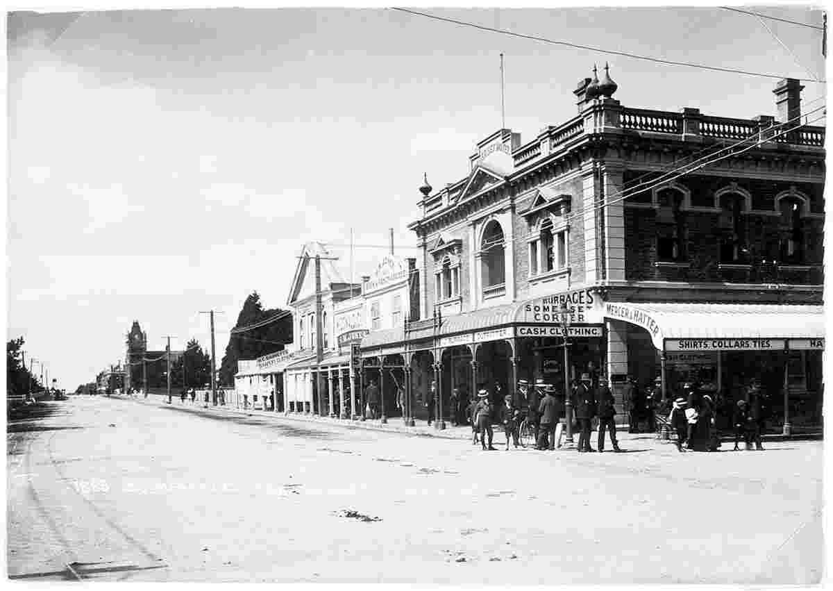
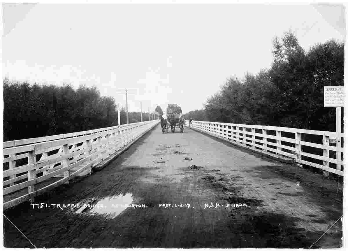
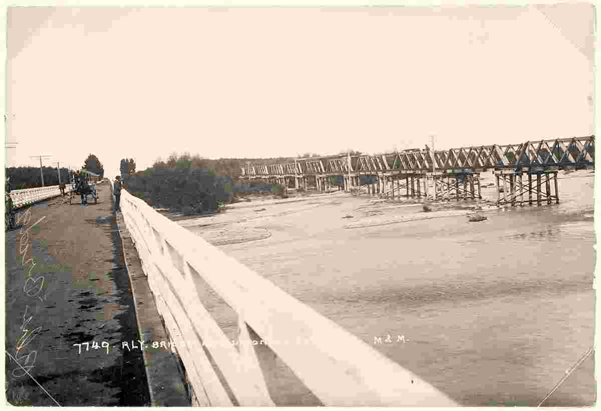
History of city AshburtonThe land on which the town of Ashburton stands was obtained from the Canterbury Association which held the land under the Wakefield Scheme. The river and the town were named after the Hon. William Baring (Lord Ashburton) a prominent member of the first New Zealand Land Association founded by Wakefield in 1837. At this time Ashburton District was tussock-covered and swept periodically by gales from the north-west. There were no trees except a few cabbage trees and matagouri. The wide snow-fed braided rivers meant fords constantly changed and crossings could be difficult. William Turton opened an accommodation house on the north bank of the Ashburton River in 1858. It was the first building in what would become Ashburton. The town was surveyed in 1863 by Robert Park and boundaries laid out. Cobb and Company coaches began a service in 1864 and a roads board was set up to cover the area from the Rakaia to the Rangitata and from the Southern Alps to the sea. John Grigg settled at Longbeach and began draining the swampy land, turning the estate into a model farm that attracted world-wide attention. Grigg later founded the Canterbury Frozen Meat Company, was chairman of the Farmers Insurance Company, a member of the Ashburton County Council and a Member of Parliament. After his death in 1901 a statue of Grigg was erected in Baring Square where it remains to this day. Ashburton Borough School was built in 1872; the Canterbury Flour Mills opened and shortly after the Rakaia River was bridged. In 1876 the Ashburton County Council was formed and council offices built, the 'Ashburton Mail began publication the following year and the Agricultural and Pastoral Association formed with John Grigg as first president. In 1878 Ashburton was constituted a Borough and Thomas Bullock elected first Mayor. The district was growing steadily and before the turn of the century its first hospital opened, Ashburton High School was founded and E. G. Wright became the first Member of Parliament for the district. Business grew, a woollen mill opened in 1880, a freezing works established at Fairton in 1899 and gas lighting came to Ashburton streets. The town's high pressure water supply was established in 1911 and a water tower built. The Ashburton Electric Power Board was elected in 1921 and reticulation of the town and country began. On the education front, Ashburton High School and Hakatere College amalgamated in 1965 to form Ashburton College, which has a roll today of about 1100 students. In 1989 the Borough and County Councils amalgamated into Ashburton District Council. The former County Council building now houses our Council Chamber. Source: www.ashburtondc.govt.nz | |||||||||||||||||||||
| Robinson Rd, CB 13862 Nassau, NP, The Bahamas |