A small historical reference
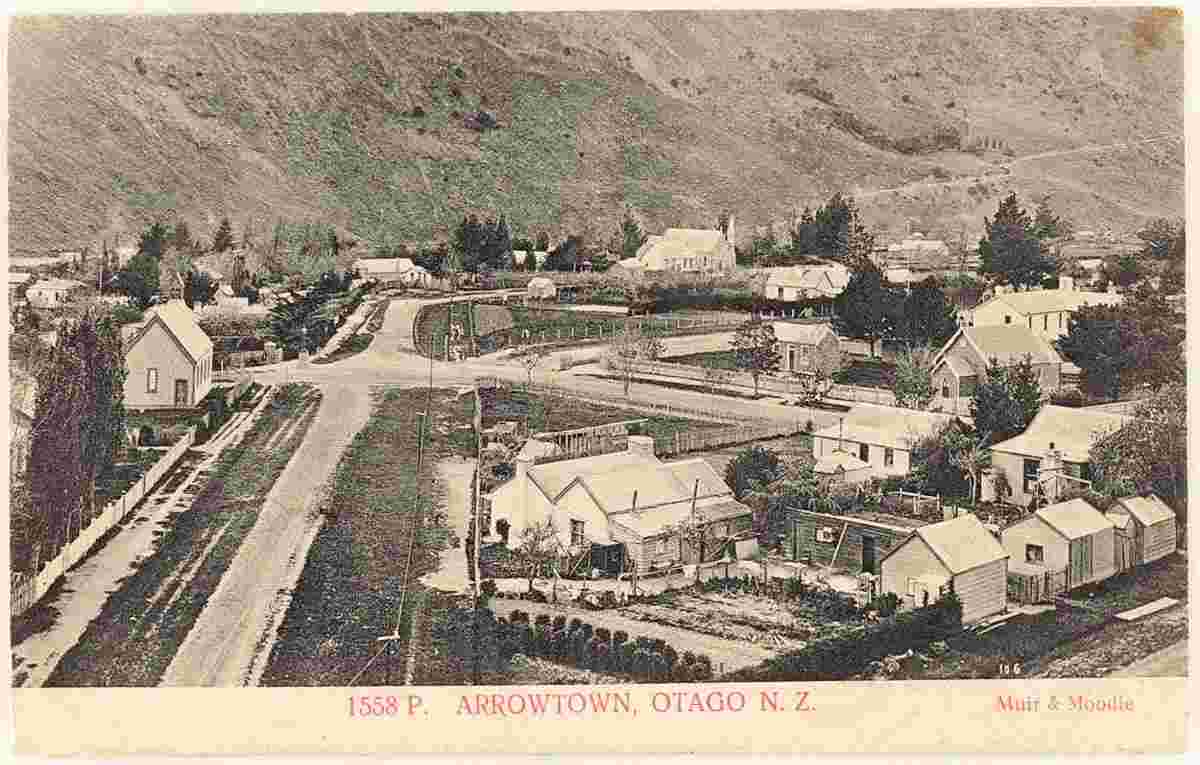
Geography: Arrowtown is a historic gold mining town in the Otago region of the South Island of New Zealand. Arrowtown is located on the banks of the Arrow River approximately 7.5 km from State Highway 6. There is also road access directly to Queenstown via the Shotover Gorge and a third route via the picturesque Lake Hayes.
Date of foundation: 1862
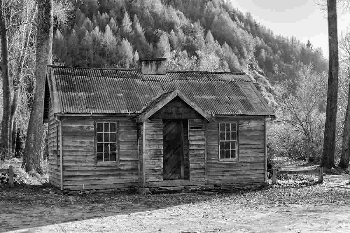
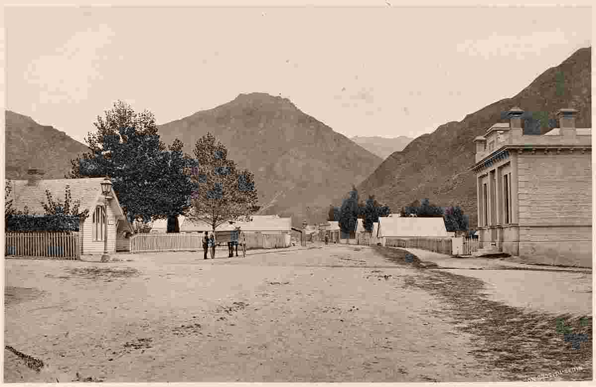
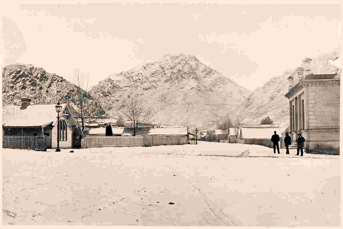
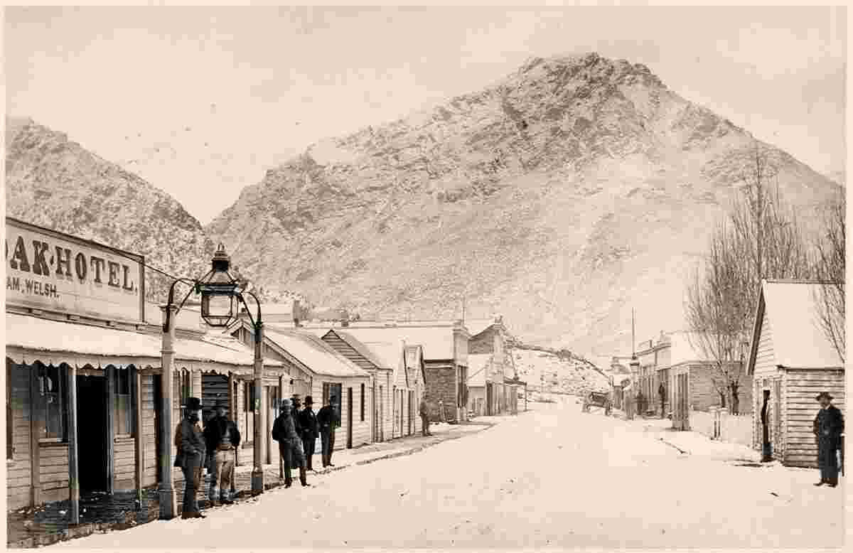
History: Gold was found in the Arrow River in 1862, and a township of 1,000 miners soon sprang up. It was initially named Fox's,[citation needed] based on William Fox's claim to have been first to find gold there, but was soon renamed Arrowtown. At the high point of the gold rush the population of Arrowtown rose to over 7,000 and it became the center of a larger municipality, which covered the new settlements of Macetown, Skippers Canyon and Bullendale (today only ghost towns).
Arrowtown was constituted as a borough in 1867 and became part of the Queenstown-Lakes District in the local government reorganisation of 1989.
Population: 2 950
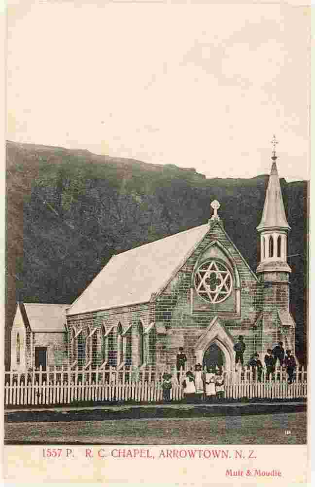
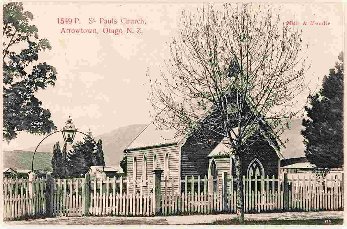
Sights:
|