A small historical reference
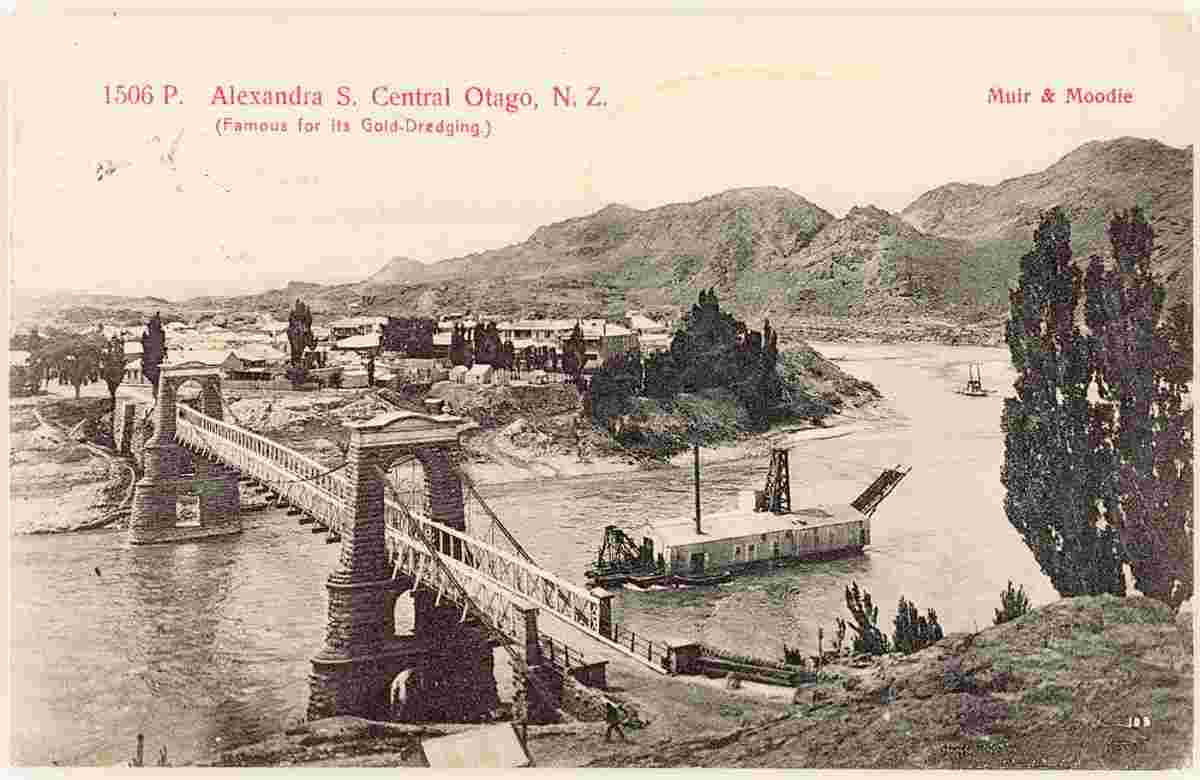
Geography: Alexandra is a town in the Central Otago district of the South Island of New Zealand. It is located on the banks of the Clutha River (at the confluence of the Manuherikia River), on State Highway 8, 188 kilometres (117 mi) by road from Dunedin and 33 kilometres (21 mi) south of Cromwell.
Date of foundation: 1860s
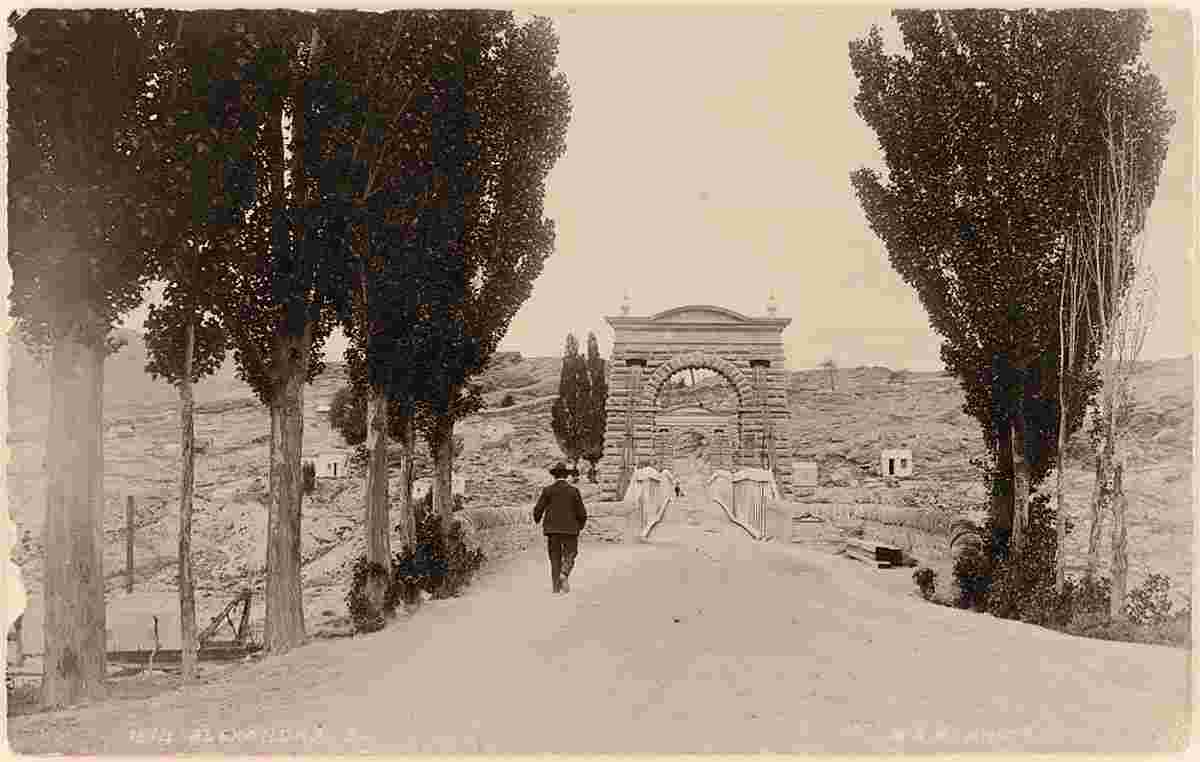
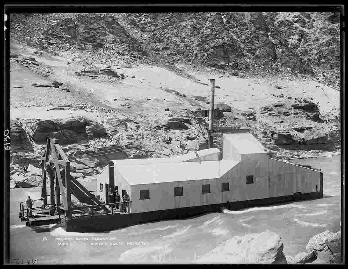
History: The town was founded during the Central Otago goldrush in the 1860s, and was named after Alexandra of Denmark by John Aitken Connell who surveyed the town. Originally referred to as "Alexandra South" to distinguish it from a North Island town in the King Country with the same name, the word "South" was dropped in 1867 after that North Island town was renamed to Pirongia. It was known to miners of the day by several names: the "Lower Township", the "Junction Township", and "Manuherikia". (The "Upper Township" was Dunstan, now Clyde.)
Many orchards were destroyed in the 1980s as a result of construction, 10 km upriver, of the Clyde High Dam, which is the country's third largest hydroelectric power station.
Population: 5 510
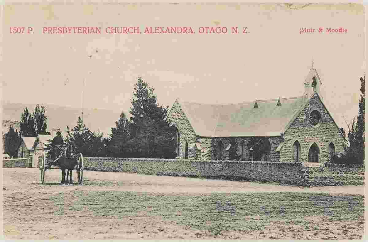
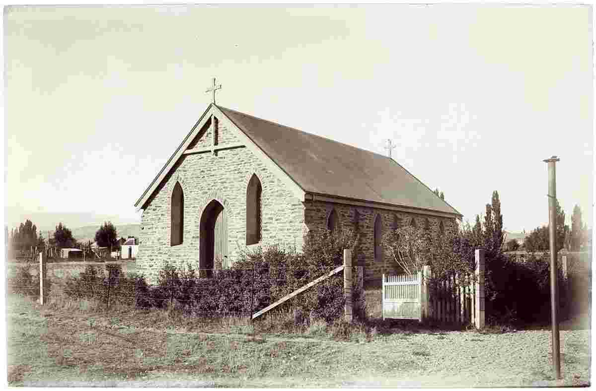
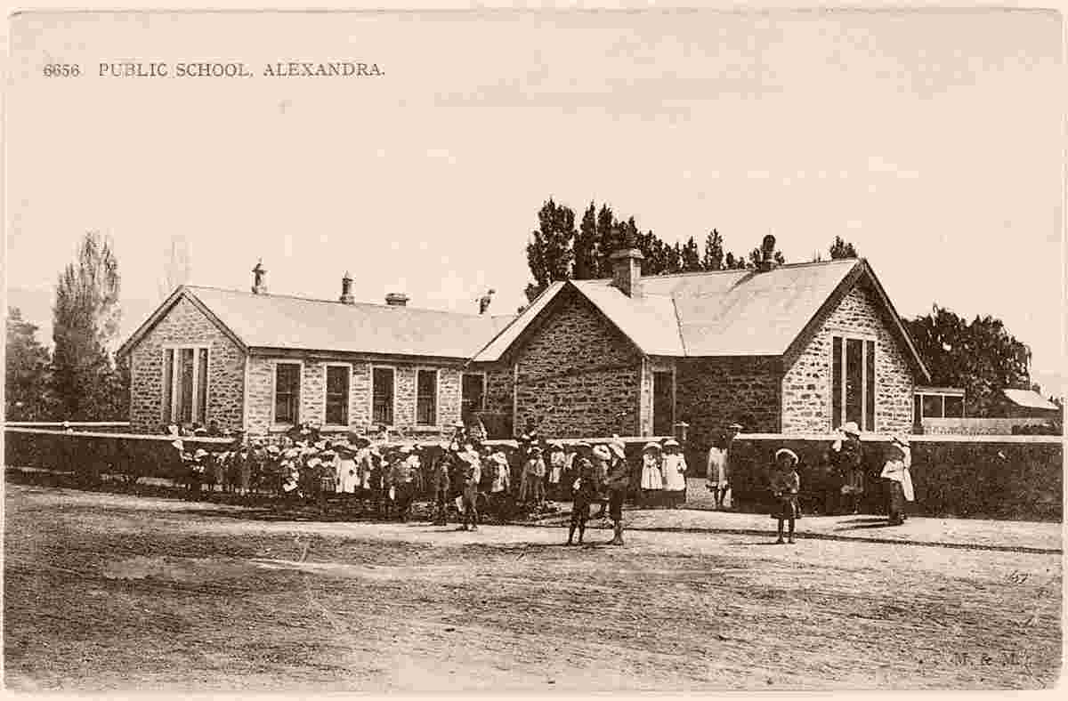
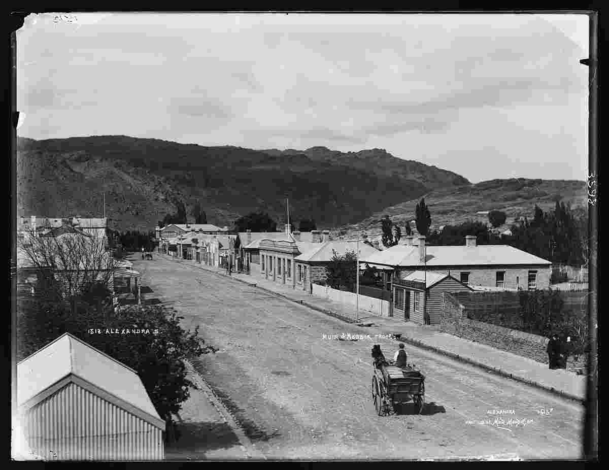
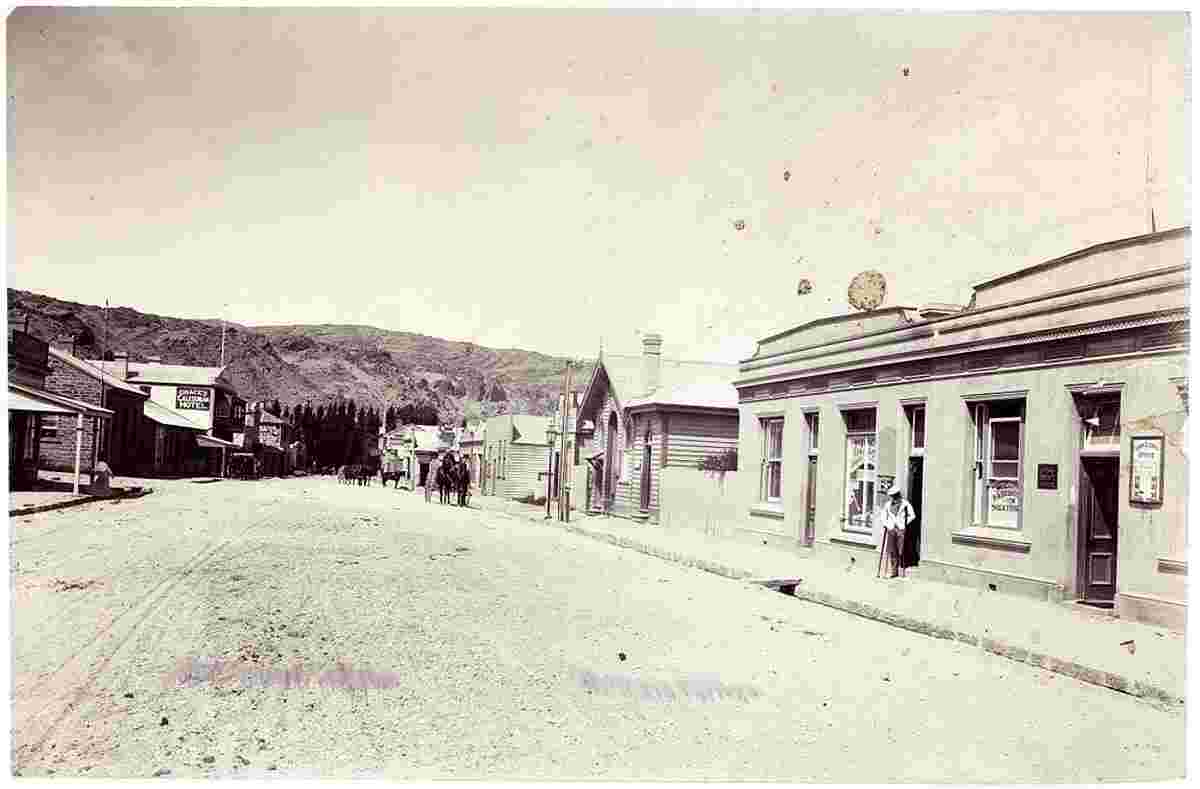
Sights:
|