Author
Historical and old photos, pictures and images of Sunshine Coast, Queensland

Cities of the World • Countries of Oceania • Cities of Australia

Historical and old photos of Sunshine Coast, Queensland in photos

A small historical reference

Geography: Sunshine Coast - is a peri-urban area and the third most populated area in the Australian state of Queensland. Located 100 km (62 mi) north of the state capital Brisbane in South East Queensland on the Pacific Ocean coastline, its urban area spans approximately 60 km (37 mi) of coastline and hinterland from Pelican Waters to Tewantin.

The area was first settled by Europeans in the 19th century with development progressing slowly until tourism became an important industry. The area has several coastal hubs at Caloundra, Kawana Waters, Maroochydore and Noosa Heads. Nambour and Maleny have developed as primary commercial centres for the hinterland, although Maleny falls outside the urban area. (Wiki)

Date of foundation: At the end of 1820s
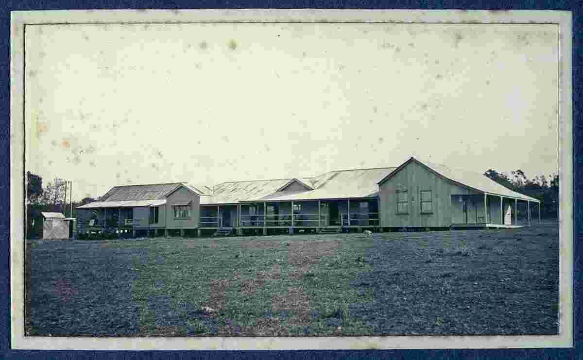
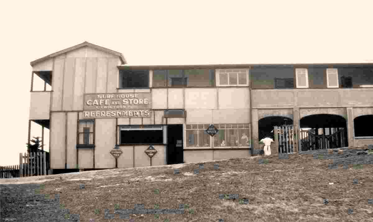
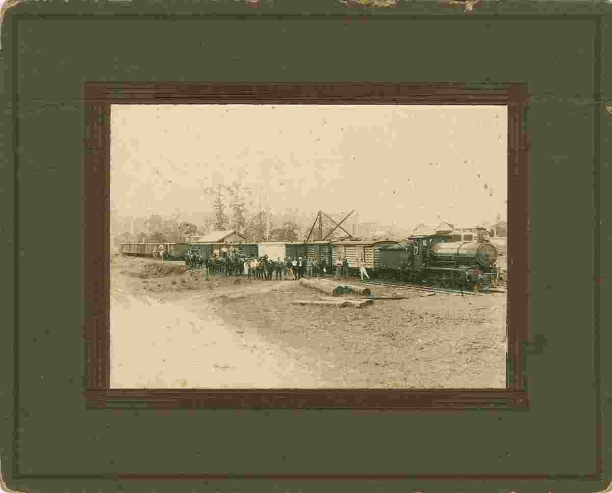
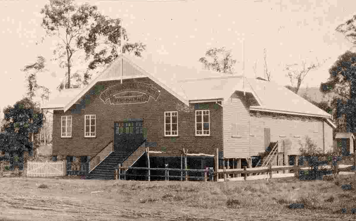
History:

Population: 302 122

Sights:

Sunshine Coast. Alexandra Headland - Boolarong Hotel, 1962
Alexandra Headland - Boolarong Hotel, 1962
Sunshine Coast. Buderim - First Class Coach on the new tramway, circa 1915
Buderim - First Class Coach on the new tramway, circa 1915
Sunshine Coast. Buderim - Main Street, circa 1930
Buderim - Main Street, circa 1930
Sunshine Coast. Buderim - State School founded in 1875, 1909
Buderim - State School founded in 1875, 1909
Sunshine Coast. Caloundra - Rooke's Hotel, 1921
Caloundra - Rooke's Hotel, 1921
Sunshine Coast. Caloundra - Surf House, Cafe and Store, 1935
Caloundra - Surf House, Cafe and Store, 1935
Sunshine Coast. First fruit train
First fruit train to Sydney and Melbourne at the Woombye Railway Station, 1919
Sunshine Coast. Landsborough - School of Arts, 1932
Landsborough - School of Arts, 1932


Robinson Rd, CB 13862 Nassau, NP, The Bahamas
Flag Counter