Author
Historical and old photos, pictures and images of Queanbeyan, New South Wales

Cities of the World • Countries of Oceania • Cities of Australia

Historical and old photos of Queanbeyan, New South Wales in photos

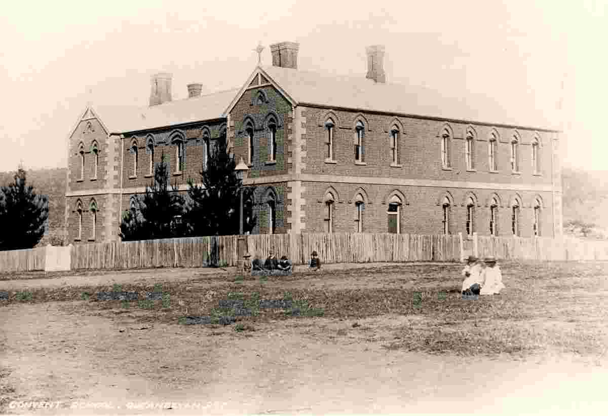
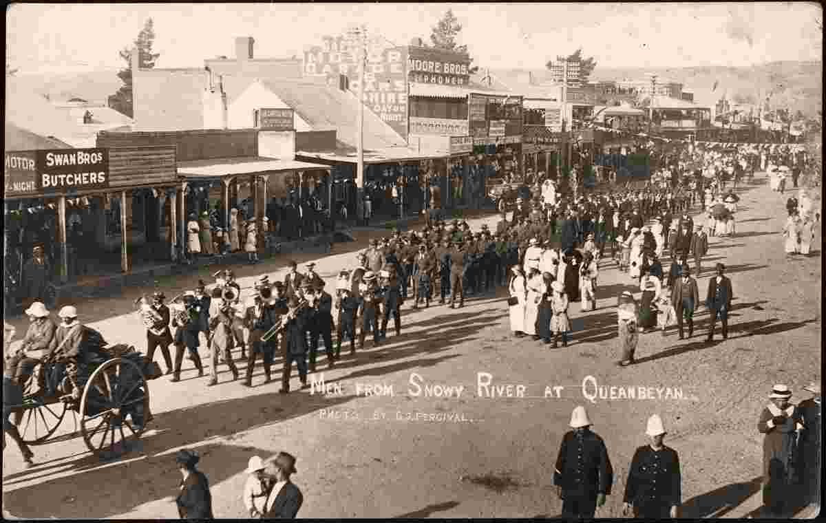
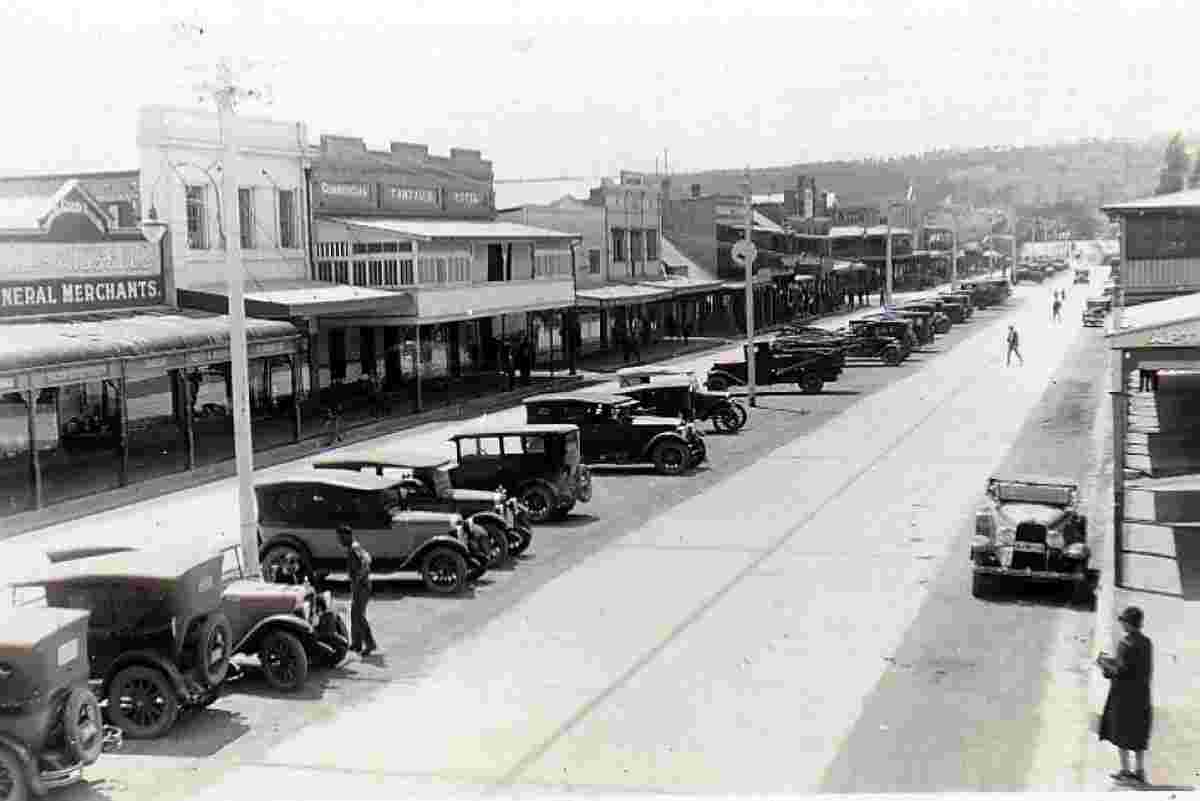
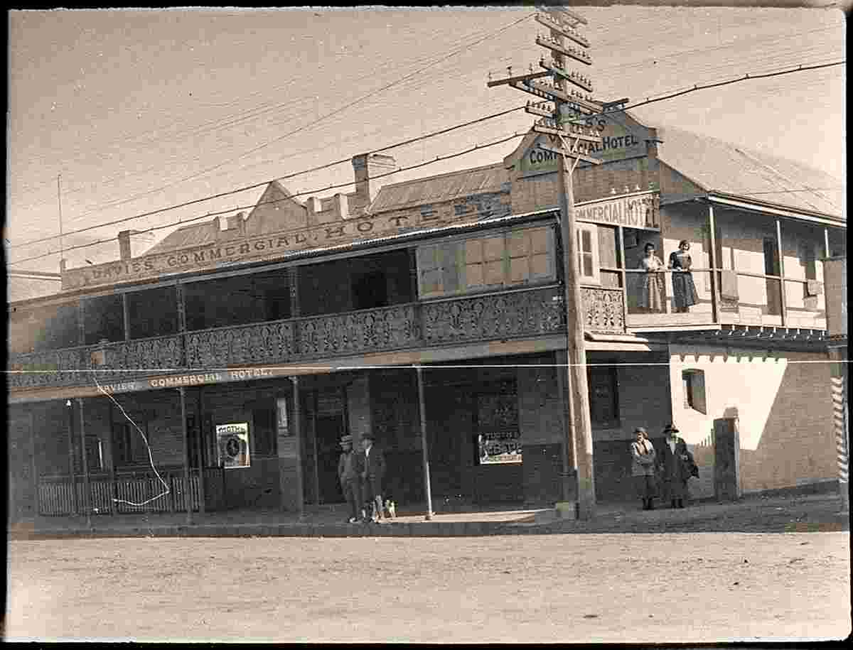
A small historical reference

Geography: Queanbeyan is a regional centre on the Southern Tablelands in south-eastern New South Wales adjacent to the Australian Capital Territory. The city's mixed economy is based on light construction, manufacturing, service, retail and agriculture. It is the council seat of the Queanbeyan-Palerang Regional Council.

Following the founding of Canberra, Australia's federal capital, just 15 kilometres (9.3 mi) to the west, Queanbeyan has become an integral part of the capital city's economy. The word Queanbeyan is the anglicised form of Quinbean an Aboriginal word meaning "clear waters". (Wiki)

Date of foundation: 1838

Population: 37 991

Queanbeyan. Convent School (Benedict House)
Convent School (Benedict House)
Men from Snowy River recruiting march at Queanbeyan, January 1916
Queanbeyan. Monaro Street as seen from Queanbeyan Bridge, 1926
Monaro Street as seen from Queanbeyan Bridge, 1926
Queanbeyan. Monaro Street, Davies Commercial Hotel, 1926
Monaro Street, Davies Commercial Hotel, 1926
Queanbeyan. Post office, 1906
Post office, 1906
Queanbeyan. Presbyterian Church
Presbyterian Church
Queanbeyan. Railway bridge over the Molonglo River, near the Railway station, 1889
Railway bridge over the Molonglo River, near the Railway station, 1889
Queanbeyan. Tourist Hotel, 1950s
Tourist Hotel, 1950s


Robinson Rd, CB 13862 Nassau, NP, The Bahamas
Flag Counter