Author
Historical and old photos, pictures and images of Kalgoorlie, Western Australia

Cities of the World • Countries of Oceania • Cities of Australia

Historical and old photos of Kalgoorlie, Western Australia in photos

From collection Donna Barber

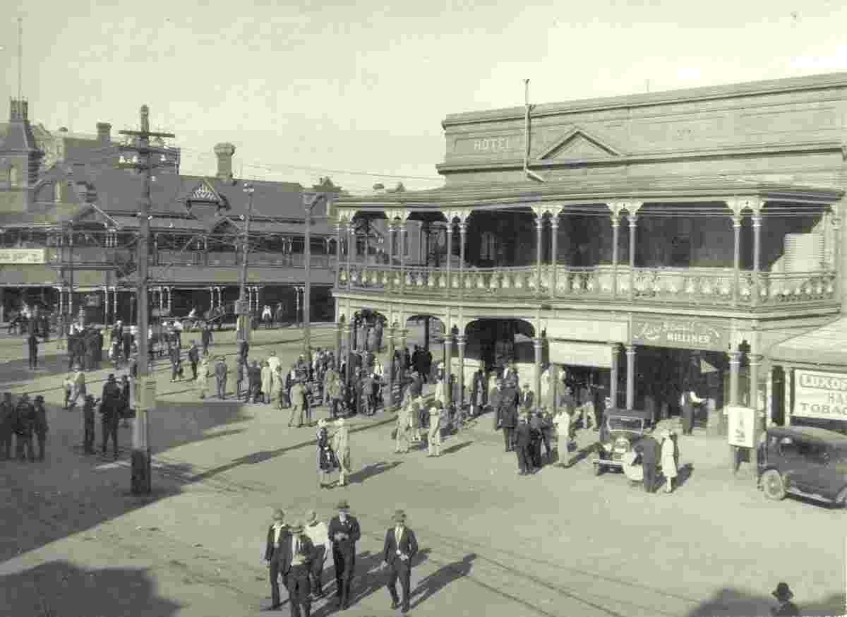
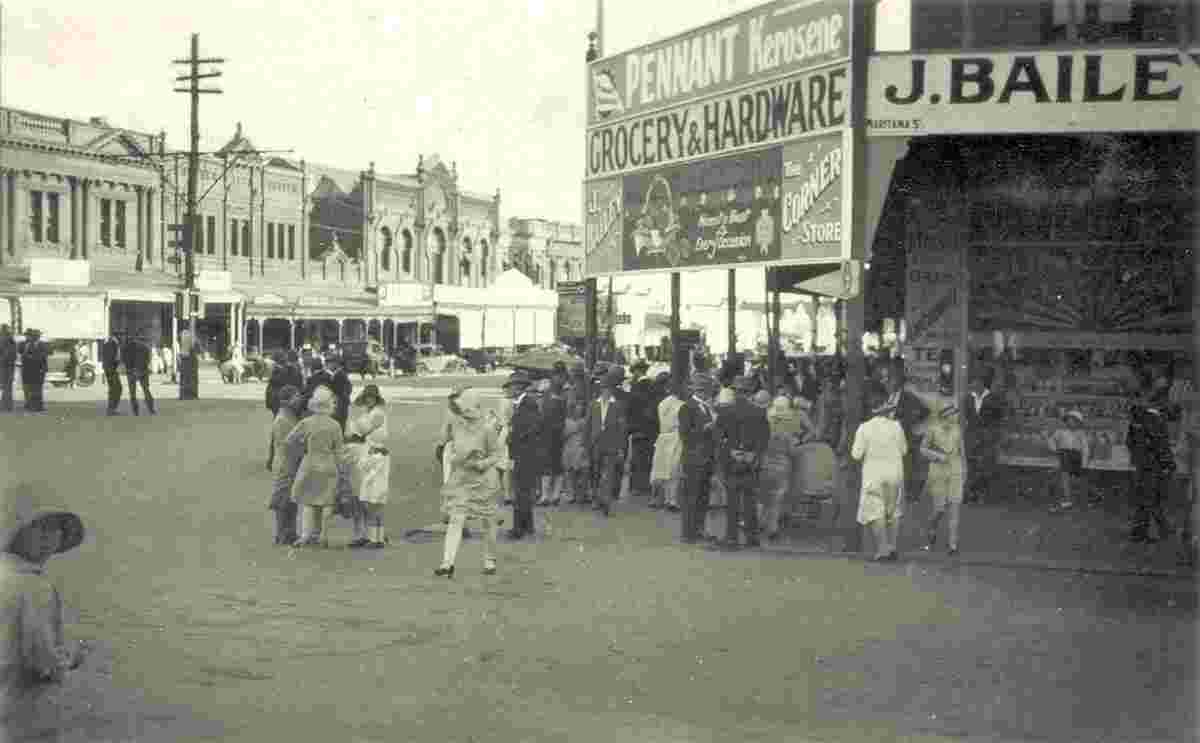
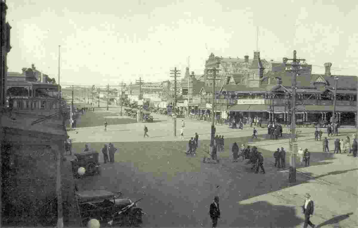
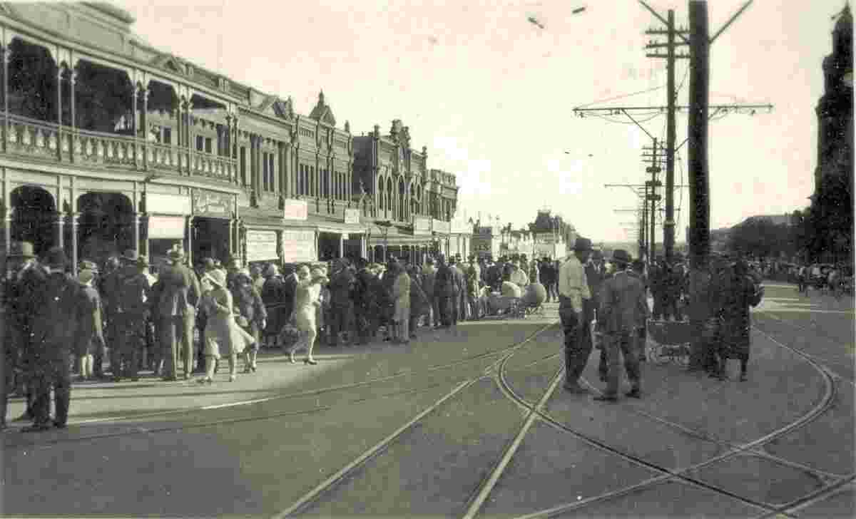
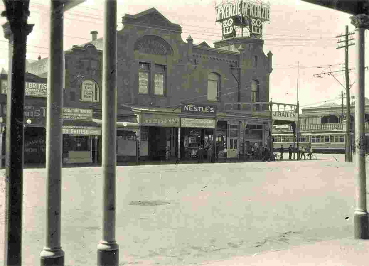
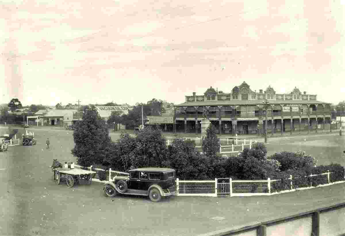
A small historical reference

Geography: Kalgoorlie, part of the City of Kalgoorlie-Boulder, is a city in the Goldfields-Esperance region of Western Australia, Australia, located 595 kilometres (370 mi) east-northeast of Perth at the end of the Great Eastern Highway. The town was founded in 1893 during the Coolgardie gold rush, and is located close to the so-called "Golden Mile". It is also the ultimate destination of the Goldfields Water Supply Scheme and the Golden Pipeline Heritage Trail.

At June 2015, Kalgoorlie (including Boulder), had an estimated urban population of 32,797.

The name Kalgoorlie is derived from the Wangai word Karlkurla, meaning "place of the silky pears".

Date of foundation: 1893

Population: 32 797

Kalgoorlie. Exchange Hotel, 1930
Exchange Hotel (left) and the Palace Hotel (right) on Hannan Street, 1930
Kalgoorlie. Grocery and Hardware store, 1928
Grocery and Hardware store of the J. Bailey, 1928
Kalgoorlie. Hannan Street, Exchange Hotel (right), 1930
Hannan Street, Exchange Hotel (right), 1930
Kalgoorlie. Looking south west down Hannan Street, 1930
Looking south west down Hannan Street, 1930
Kalgoorlie. McKenzie & Co Ltd. building, 1929
McKenzie & Co Ltd. building on the corner of Hannan and Maritana Streets, 1929
Kalgoorlie. Panorama of the city, 1928
Panorama of the city, 1928
Kalgoorlie. Railway hotel, 1929
Railway hotel, 1929
Kalgoorlie. Railway Hotel, War Memorial, 1929
Railway Hotel, War Memorial, 1929


Robinson Rd, CB 13862 Nassau, NP, The Bahamas
Flag Counter