Author
Historical and old photos, pictures and images of Grafton, New South Wales

Cities of the World • Countries of Oceania • Cities of Australia

Historical and old photos of Grafton, New South Wales in photos

A small historical reference

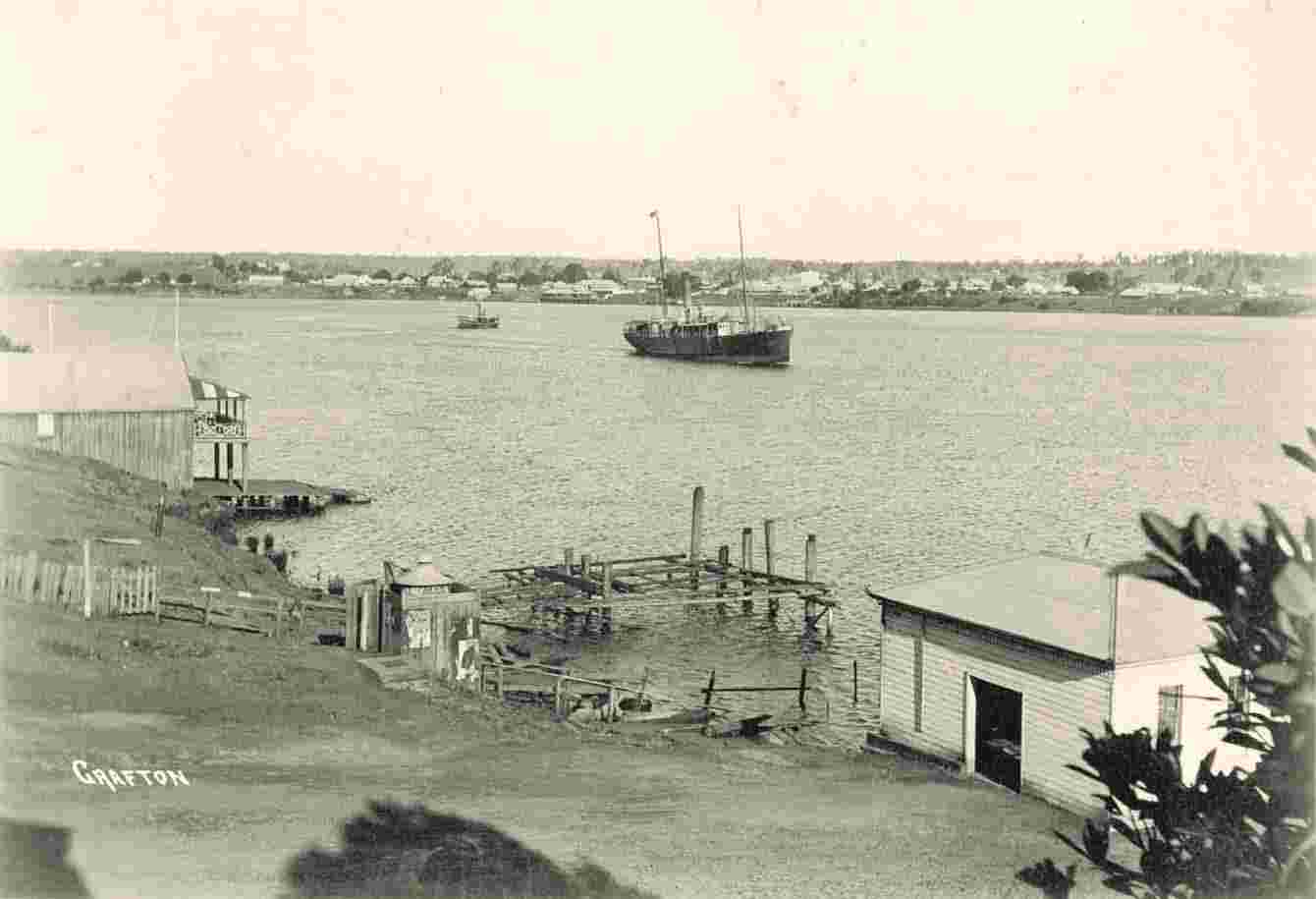
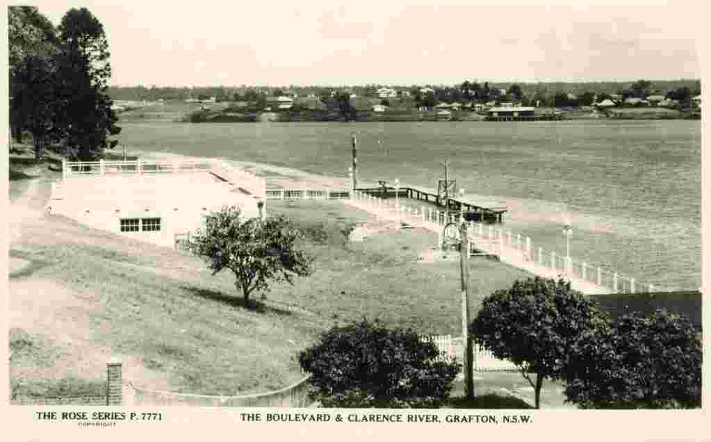
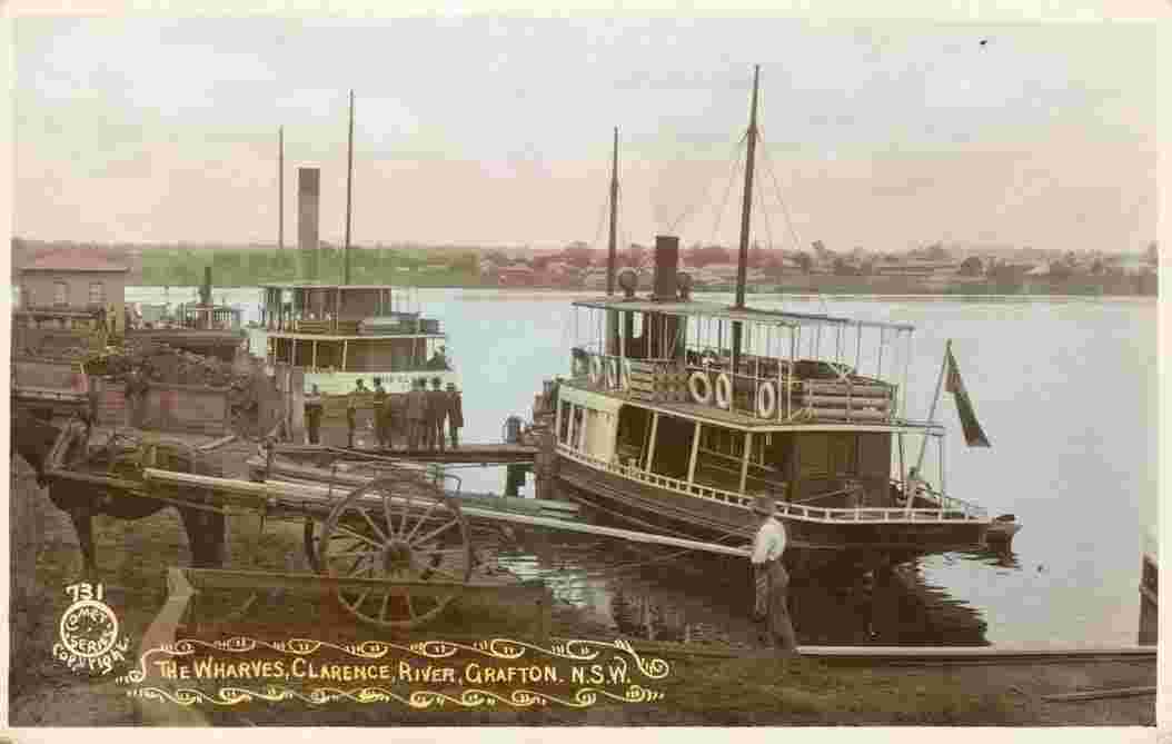
Geography: The city of Grafton is the seat of local government, the Federal and State government admimistrative centre, and the commercial hub of the Clarence River Valley. It is located approximately 630 kilometres north of the New South Wales State capital, Sydney, 340 km south of Brisbane, Queensland and approximately 35 km west of the Tasman Sea coast. (Wiki)

Date of foundation: 1851

History: Grafton, like many other settlements in the area, was first opened up to white settlement by the cedar-getters. An escaped convict, Richard Craig, 'discovered' the district in 1831. With the wealth of 'red gold' cedar just waiting for exploitation, he was given a pardon and one hundred pounds to bring a party of cedar-getters on the cutter 'Prince George' to the region. Word of such wealth to be had did not take long to spread and one of the arrivals was pioneer John Small on the 'Susan' in 1838, and he first occupied land on Woodford Island. 'The Settlement' (as the embryonic Grafton was then imaginatively named) was established shortly after.

In 1851, Governor Fitzroy officially named the town "Grafton", after his grandfather, the Duke of Grafton, a former Prime Minister of the United Kingdom. Grafton was proclaimed a city in 1885. Local industries include logging, beef cattle, fishing/prawning, sugar, manufacturing and tourism.

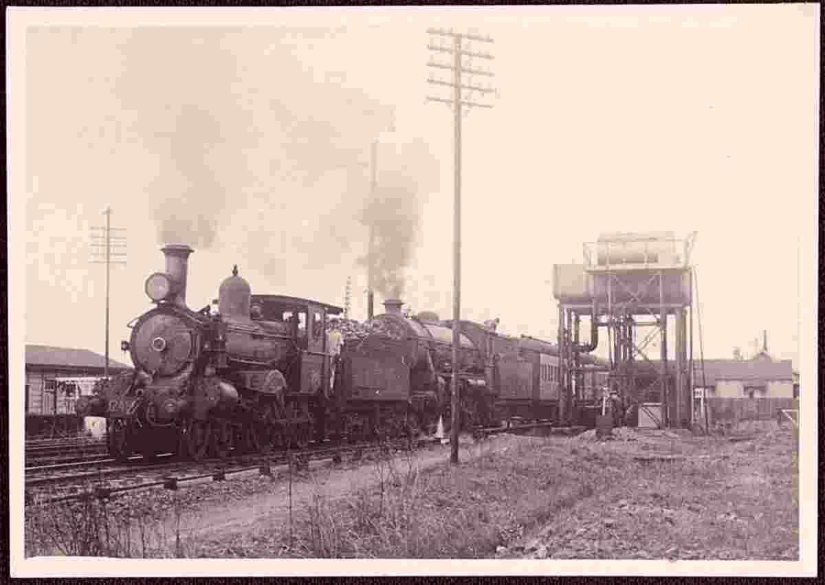
The town is also known for its double-decker road/railway bridge, opened in 1932, completing the standard gauge rail connection between Sydney and Brisbane, and also forming a vital link for the Pacific Highway. This bridge is a one of a kind and is a major feature on the Clarence River in Grafton.

Population: 18 689

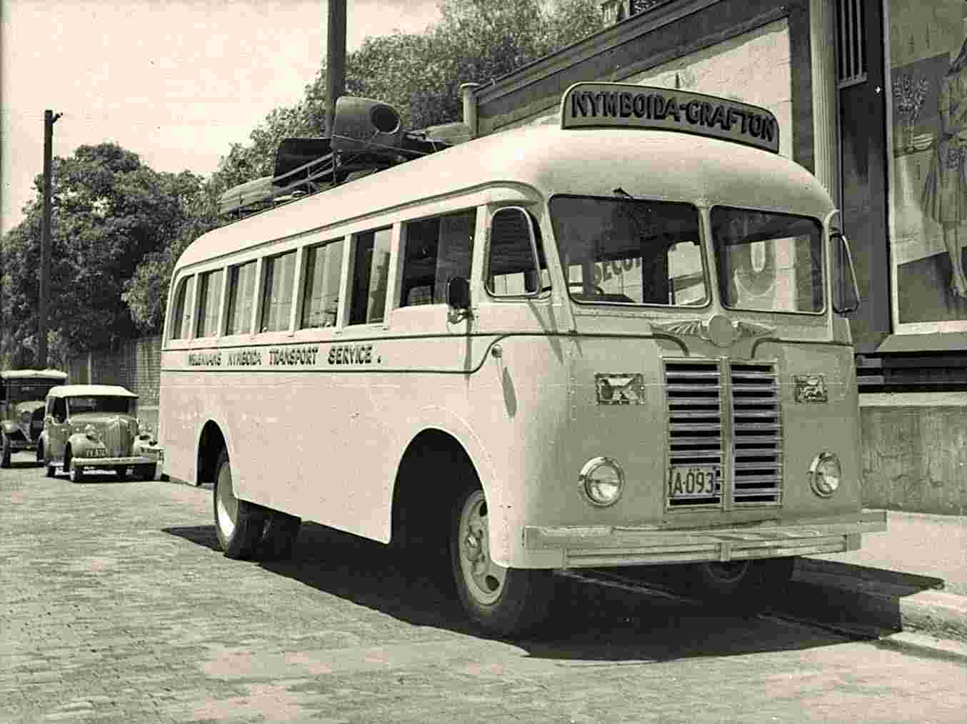
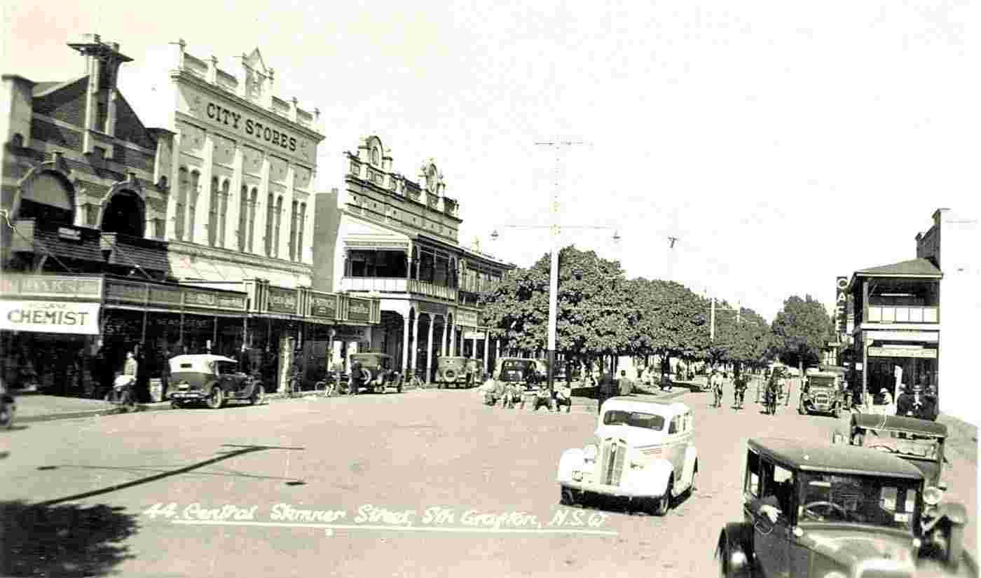
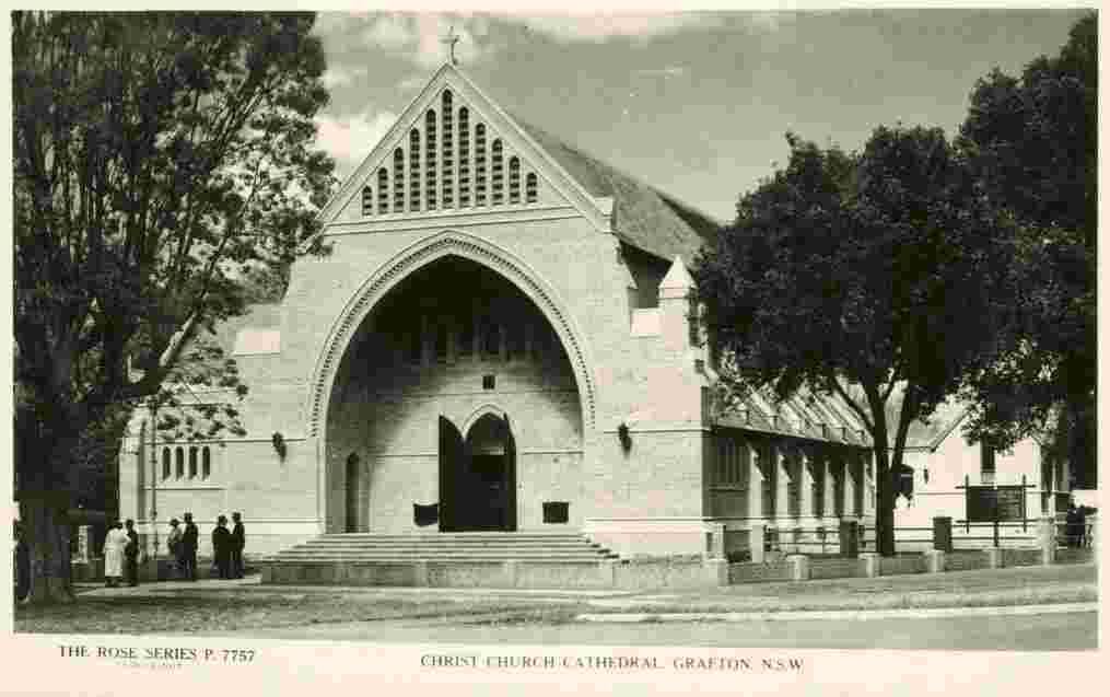
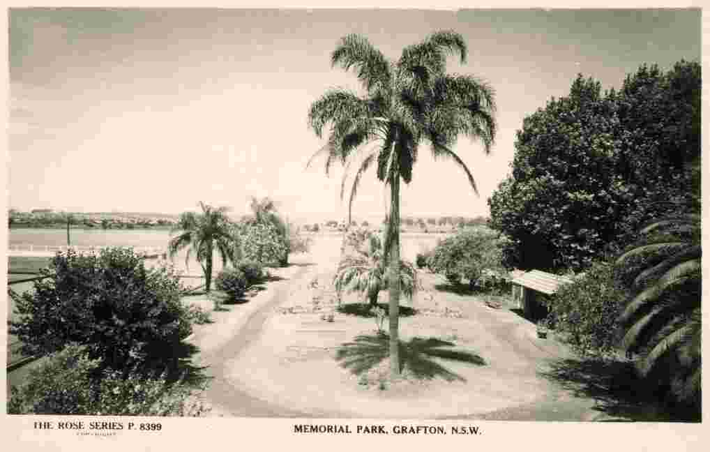
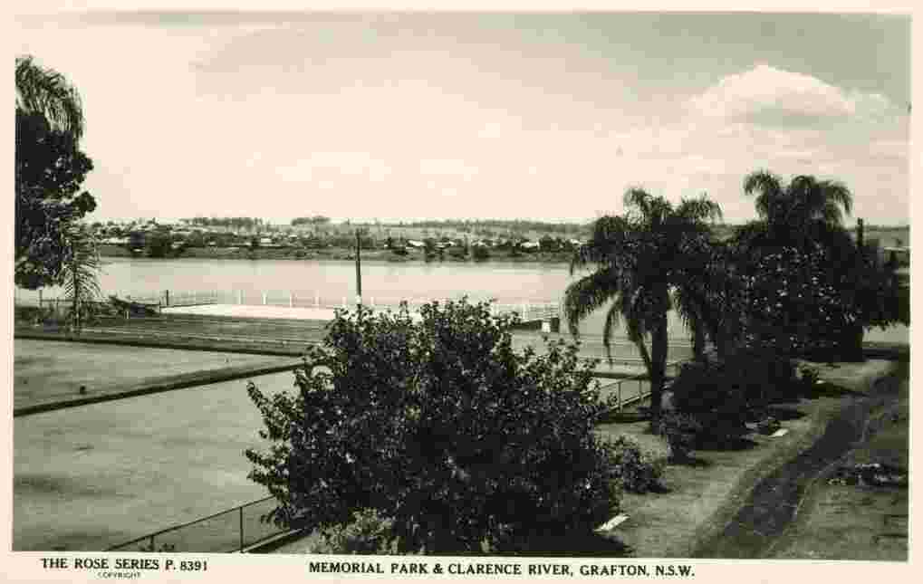
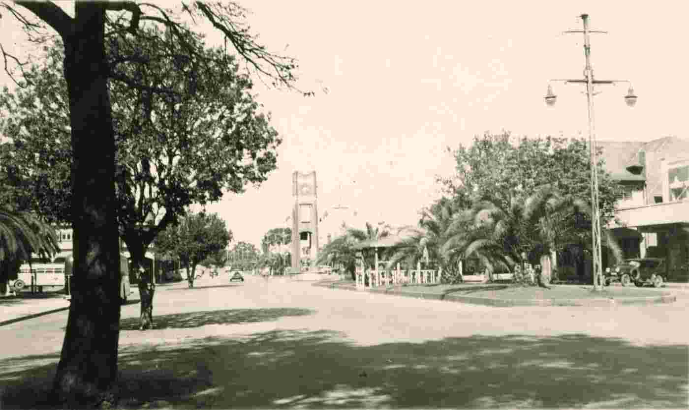
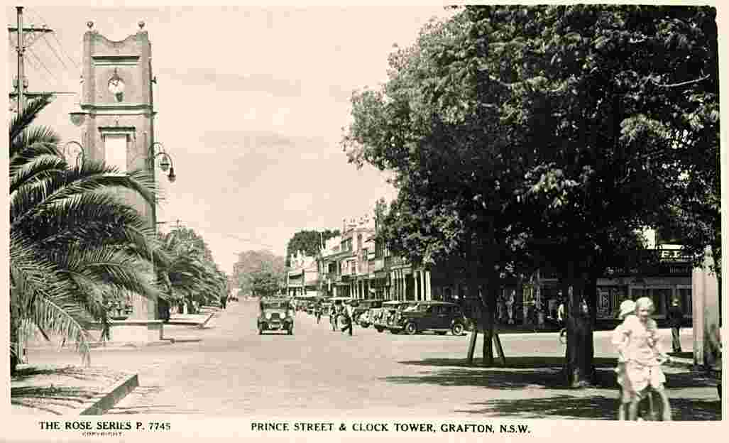
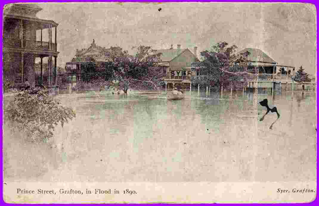
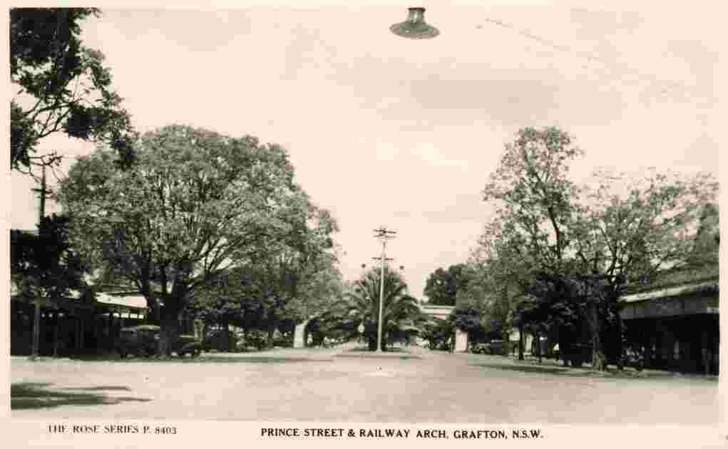
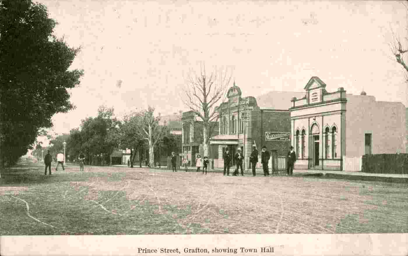
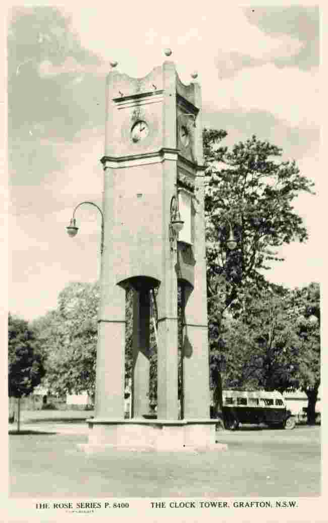
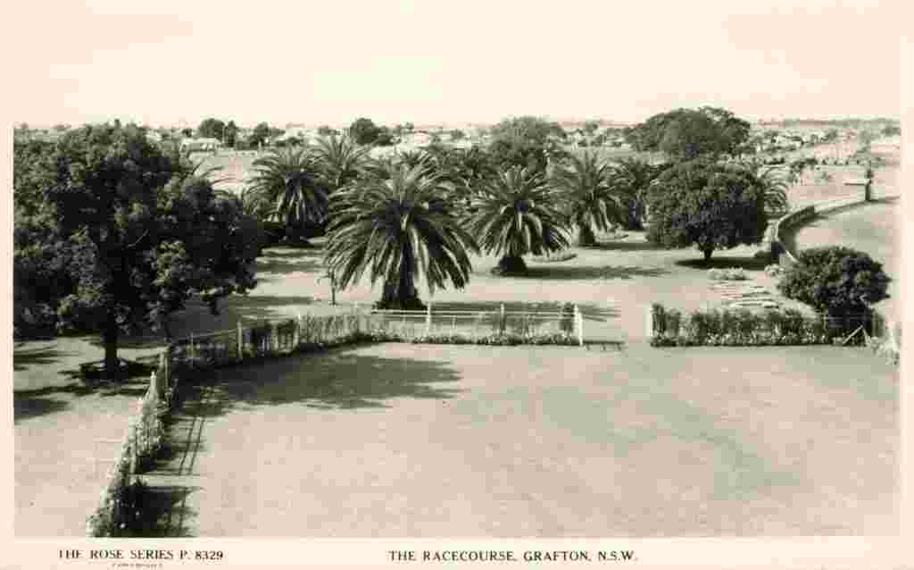
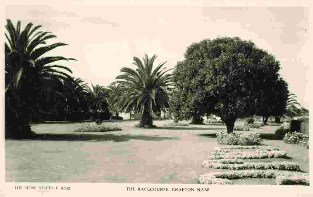
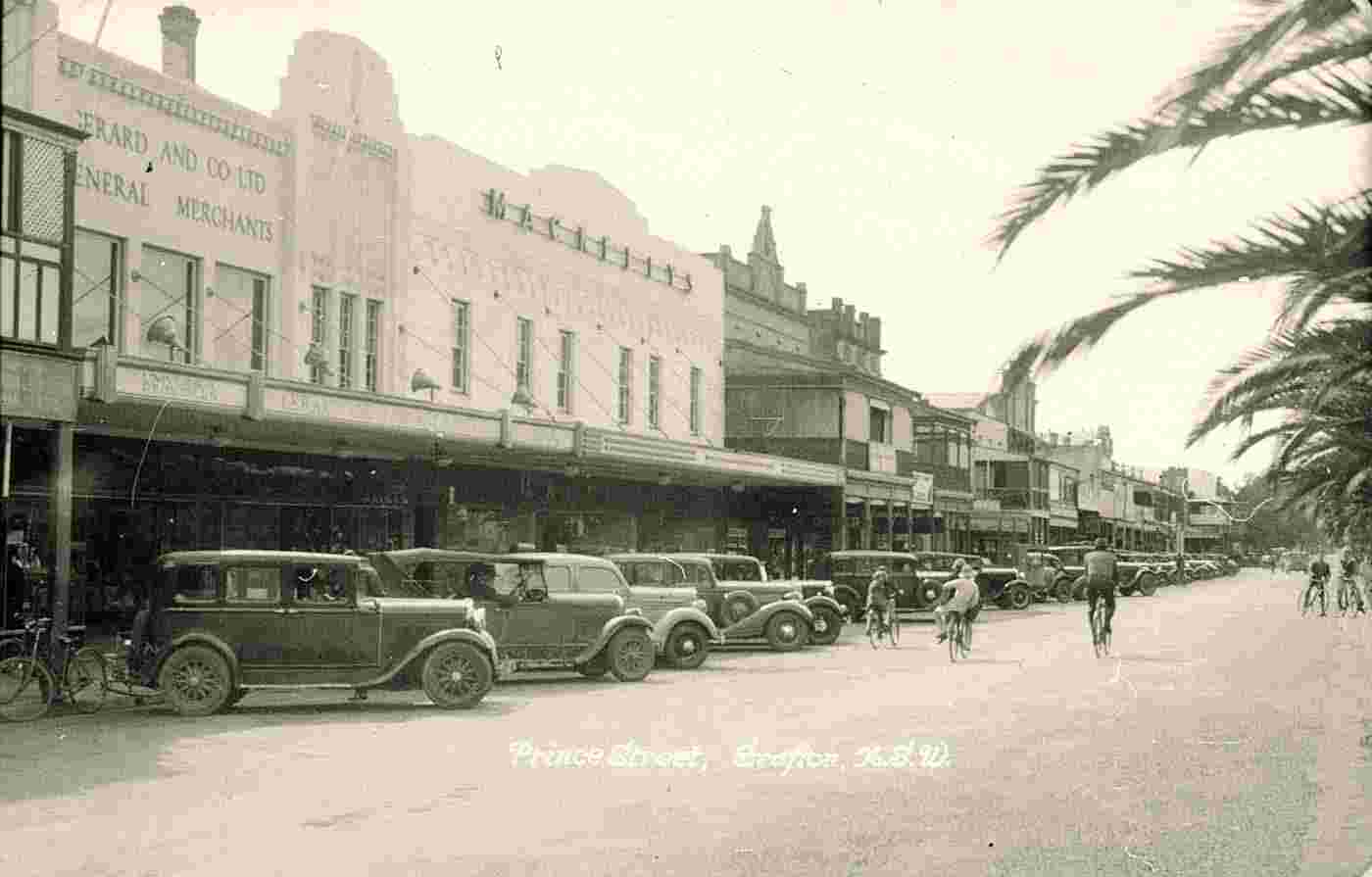
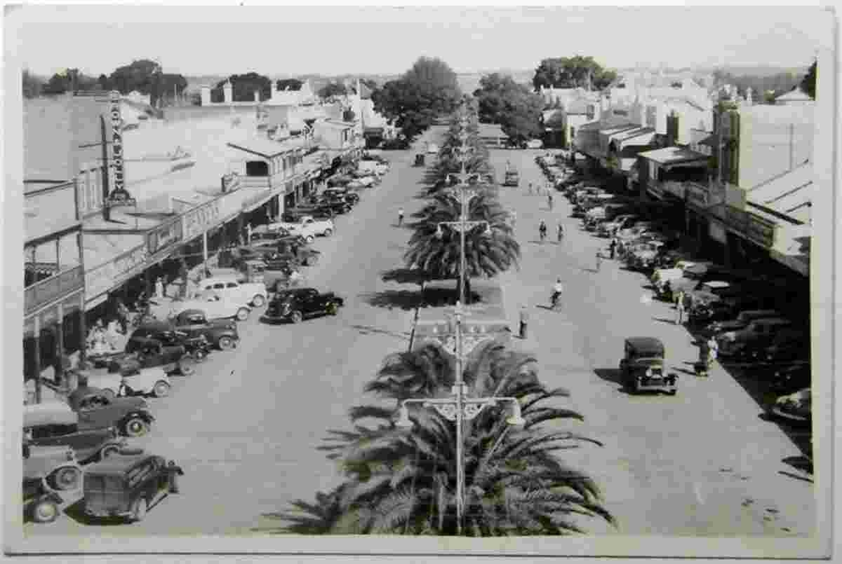
Sights: Grafton features many historic buildings and tree-lined streets.

Grafton. Bus at line Nymboida - Grafton
Bus at line Nymboida - Grafton, 1939
Grafton. Central Skinner Street
Central Skinner Street, South Grafton, circa 1935
Grafton. Christ Church Cathedral
Christ Church Cathedral
Grafton. Fire at Grafton
Fire at Grafton May 27th 1908
Grafton. June Flood 1950
June Flood 1950. Prince Street, West side, between Pound and Fitzroy Streets
Grafton. Memorial Park
Memorial Park
Grafton. Memorial Park
Memorial Park and Clarence River
Grafton. Motorcycle in house yard
Motorcycle in house yard
Grafton. Prince Street, March 1952
Prince Street, March 1952
Grafton. Prince Street
Prince Street and clock tower
Grafton. Prince Street
Prince Street, Flood in 1890
Grafton. Prince Street
Prince Street and Railway Arch
Grafton. Prince Street
Prince Street, showing Town Hall
Grafton. Steamship at Clarence River
Steamship at Clarence River, between 1900 and 1910
Grafton. The Boulevard and Clarence River
The Boulevard and Clarence River
Grafton. The clock tower
The clock tower
Grafton. The Race Course
The Race Course
Grafton. The Race Course
The Race Course
Grafton. The Wharves, Clarence River
The Wharves, Clarence River
Grafton. View along Prince Street
View along Prince Street with parked cars, 1939
Grafton. Brisbane express at South Grafton, October 1947
Brisbane express at South Grafton, October 1947
Grafton. Central Post Office, 1913
Central Post Office, 1913
Grafton. Clarence River, Bascule Span Road and Rail Bridge, Steamship, between 1940 and 1950
Clarence River, Bascule Span Road and Rail Bridge, Steamship, between 1940 and 1950
Grafton. Panorama of the city street with cars, circa 1950
Panorama of the city street with cars, circa 1950

Source photos - nsw.gov.au and nma.gov.au


Robinson Rd, CB 13862 Nassau, NP, The Bahamas
Flag Counter